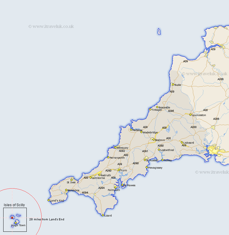
Cornwall Map Showing Location of Bryher
Population: 92
District: Isles of Scilly
Easting: 88006 Northing: 14680
Latitude: 49.95 Longitude: -6.06
 = Bryher
District: Isles of Scilly
Easting: 88006 Northing: 14680
Latitude: 49.95 Longitude: -6.06
= Bryher
This Bryher map below is supplied by Google. Use the tools in the top left corner to zoom into street level or zoom out for a road map, you may also need to zoom in to see Bryher on the map. Click and drag the map to move around. If the map fails to load try and refresh your browser or zoom in or out (+ or -).
Update - it seems Google no longer allow people to use their maps for free! This Bryher map sometimes loads and sometimes gives a error. I am working on a solution.
Closest 30 Towns or Cities to Bryher (Population over 500)
Sennan 29.03km Sennen 29.03km Saint Just 31.89km St. Just 31.89km St Just 31.89km St. Buryan 34.46km St Buryan 34.46km Saint Buryan 34.46km Saint Burian 34.46km St Burian 34.46km St. Burian 34.46km Sancreed 37.06km Madron 40.91km Penzance 41.94km Ludgvan 46.16km Marazion 47.23km Perranuthnoe 47.57km St. Ives 48.88km Saint Ives 48.88km St Ives 48.88km Saint Hilary 49.77km St Hilary 49.77km St. Hilary 49.77km Germoe 51.99km Germol 51.99km Breage 54.75km Heyl 55.03km Hayle 55.03km Porthleven 55.37km Gwinear 56.08km