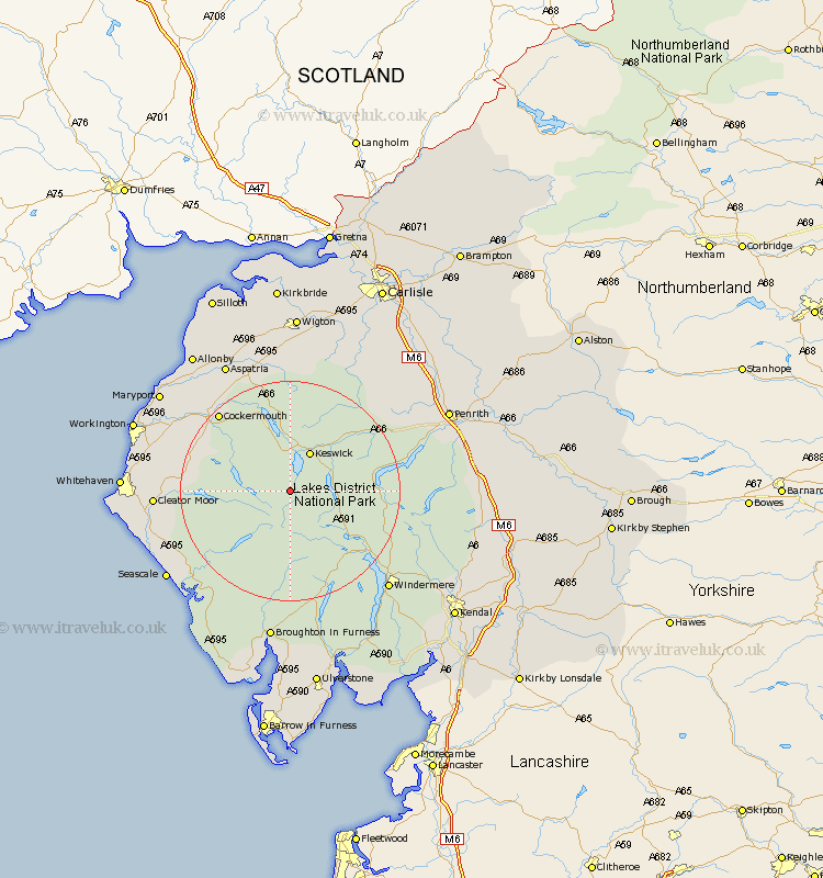
Cumbria Map Showing Location of Borrowdale
Population: 438
District: Allerdale
Easting: 324515 Northing: 515976
Latitude: 54.53 Longitude: -3.17
 = Borrowdale
District: Allerdale
Easting: 324515 Northing: 515976
Latitude: 54.53 Longitude: -3.17
= Borrowdale
This Borrowdale map below is supplied by Google. Use the tools in the top left corner to zoom into street level or zoom out for a road map, you may also need to zoom in to see Borrowdale on the map. Click and drag the map to move around. If the map fails to load try and refresh your browser or zoom in or out (+ or -).
Update - it seems Google no longer allow people to use their maps for free! This Borrowdale map sometimes loads and sometimes gives a error. I am working on a solution.
Closest 30 Towns or Cities to Borrowdale (Population over 500)
Koswick 8.09km Keswick 8.09km Lamplugh 15.5km Ambleside 18.31km Dean 18.72km Cockermouth 18.96km Coniston 19.62km Conistan 19.62km Frizington 20.43km Brigham 20.68km Bridekirk 21.07km Hawkshead 21.43km Cleator Moor 22.66km Gosforth 22.73km Greystoke 23.28km Dacre 23.4km Caldbeck 23.47km Egremont 23.78km Hesket Newmarket 24.24km Distington 24.29km Windermere 24.58km Dearham 25.27km Broughton Moor 25.52km Aspatria 26.37km Seascale 26.4km Skelton 26.77km Parton 27.13km Lowca 27.44km Westward 27.88km Whitehaven 28.01km