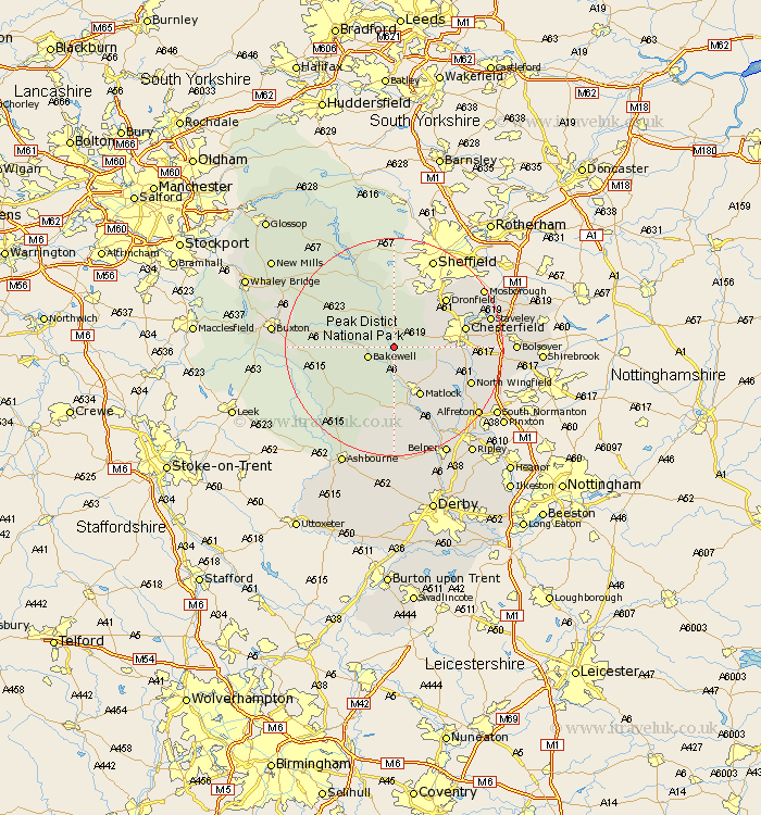
Derbyshire Map Showing Location of Chatsworth
Population: 39
District: Derbyshire Dales
Easting: 426706 Northing: 368955
Latitude: 53.22 Longitude: -1.6
 = Chatsworth
District: Derbyshire Dales
Easting: 426706 Northing: 368955
Latitude: 53.22 Longitude: -1.6
= Chatsworth
This Chatsworth map below is supplied by Google. Use the tools in the top left corner to zoom into street level or zoom out for a road map, you may also need to zoom in to see Chatsworth on the map. Click and drag the map to move around. If the map fails to load try and refresh your browser or zoom in or out (+ or -).
Update - it seems Google no longer allow people to use their maps for free! This Chatsworth map sometimes loads and sometimes gives a error. I am working on a solution.
Closest 30 Towns or Cities to Chatsworth (Population over 500)
Baslow 2.15km Bakewell 4.81km Darley Dale 5.56km Stony Middleton 6.48km Stoney Middleton 6.48km Longstone 6.91km Great Longstone 6.91km Old Brampton 6.91km Brampton 6.91km Grindleford 7.73km Grindleford Bridge 7.73km Eyam 8.63km Youlgreave 8.68km Walton 8.88km Holmesfield 9.25km Barlow 9.55km Middleton 9.56km Ashover 9.56km Winster 9.85km Matlock 10.28km Tansley 10.81km Bonsall 11.18km Wingerworth 11.25km Hathersage 11.61km Matlock Bath 12.39km Tideswell 12.41km Chesterfield 12.75km Dronfield 12.82km Cromford 13.17km Unstone 13.33km