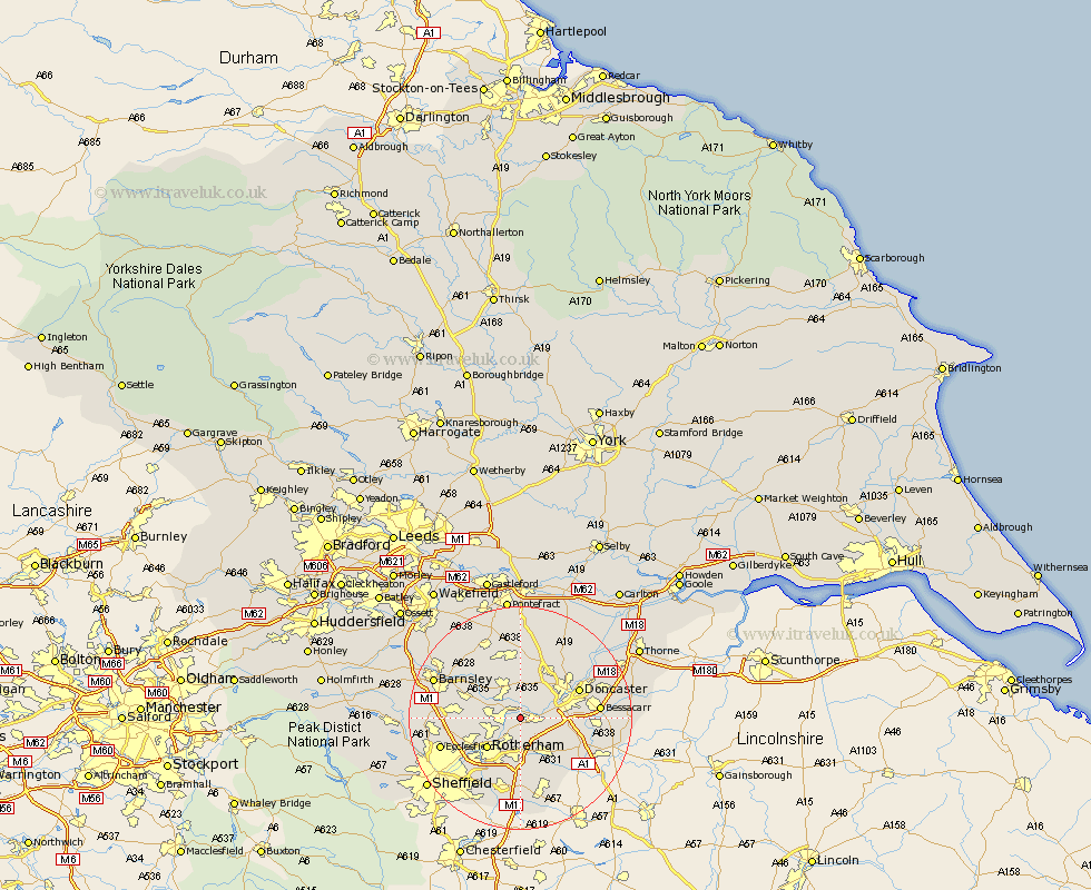
Yorkshire Map Showing Location of Mexborough
Population: 15038
Area Size (ha): 293
District: Doncaster
Easting: 448657 Northing: 398787
Latitude: 53.48 Longitude: -1.27
 = Mexborough
Area Size (ha): 293
District: Doncaster
Easting: 448657 Northing: 398787
Latitude: 53.48 Longitude: -1.27
= Mexborough
This Mexborough map below is supplied by Google. Use the tools in the top left corner to zoom into street level or zoom out for a road map, you may also need to zoom in to see Mexborough on the map. Click and drag the map to move around. If the map fails to load try and refresh your browser or zoom in or out (+ or -).
Update - it seems Google no longer allow people to use their maps for free! This Mexborough map sometimes loads and sometimes gives a error. I am working on a solution.
Closest 30 Towns or Cities to Mexborough (Population over 500)
Swinton 3.31km Conisborough 3.79km Conisbrough 3.79km Thrybergh 4.31km Sprotbrough 4.79km Sprotboro 4.79km Rawmarsh 5.76km Wath on Dearne 5.82km Wath 5.82km Wath upon Dearne 5.82km Wath-on-Dearne 5.82km Warmsworth 5.82km Dearne 5.98km Braithwell 7.1km Bramley 7.41km Brodsworth 7.42km Wickersley 7.49km Rotherham 7.83km Rotherdam 7.83km Wadsworth 7.94km Wadworth 7.94km Maltby 8.62km Great Houghton 9.24km Houghton 9.24km Darfield 9.51km Darsfield 9.51km Bentley 9.51km Wombwell 9.57km Little Houghton 9.94km Wentworth 10.1km