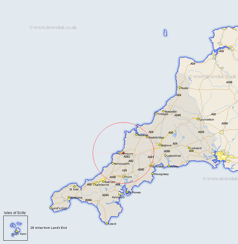
Cornwall Map Showing Location of Saint Columb Minor
District: Restormel
Easting: 183350 Northing: 61939
Latitude: 50.42 Longitude: -5.05
 = Saint Columb Minor
Easting: 183350 Northing: 61939
Latitude: 50.42 Longitude: -5.05
= Saint Columb Minor
This Saint Columb Minor map below is supplied by Google. Use the tools in the top left corner to zoom into street level or zoom out for a road map, you may also need to zoom in to see Saint Columb Minor on the map. Click and drag the map to move around. If the map fails to load try and refresh your browser or zoom in or out (+ or -).
Update - it seems Google no longer allow people to use their maps for free! This Saint Columb Minor map sometimes loads and sometimes gives a error. I am working on a solution.
Closest 30 Towns or Cities to Saint Columb Minor (Population over 500)
Newquay 2.36km Crantock 5.08km Cubert 6.01km St Columb Major 8.47km St. Columb 8.47km Saint Columb 8.47km St Columb 8.47km Saint Columb Major 8.47km St. Columb Major 8.47km Perranporth 10.26km Perranzabuloe 11.67km St. Dennis 12.38km St Dennis 12.38km St Denis 12.38km Saint Dennis 12.38km St. Denis 12.38km Saint Denis 12.38km St Merryn 12.59km St. Merryn 12.59km Saint Merryn 12.59km Ladock 13.19km St. Issey 13.22km St Issey 13.22km Saint Issey 13.22km St Stephen 14.11km Saint Stephen 14.11km St. Stephen 14.11km Padstow 15.37km Roche 15.47km Saint Agnes 16.23km