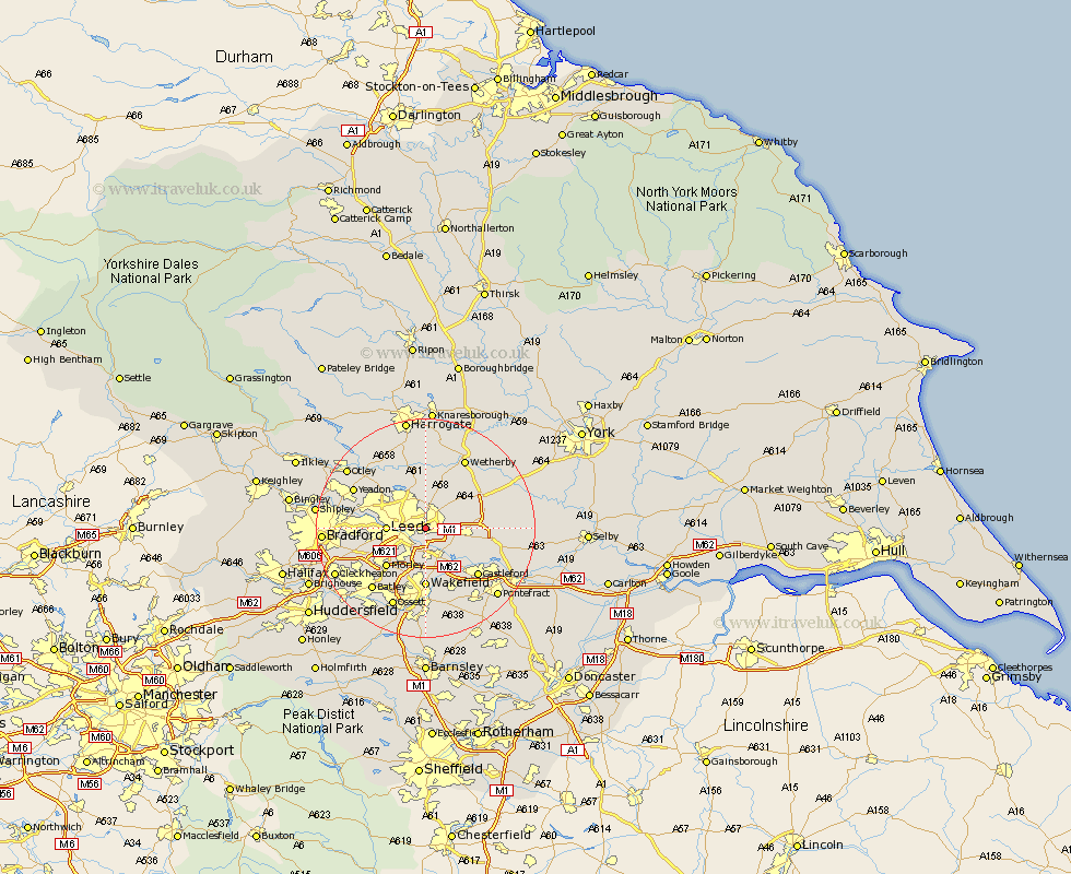
Yorkshire Map Showing Location of Killingbeck
District: Leeds
Easting: 434026 Northing: 433891
Latitude: 53.8 Longitude: -1.48
 = Killingbeck
Easting: 434026 Northing: 433891
Latitude: 53.8 Longitude: -1.48
= Killingbeck
This Killingbeck map below is supplied by Google. Use the tools in the top left corner to zoom into street level or zoom out for a road map, you may also need to zoom in to see Killingbeck on the map. Click and drag the map to move around. If the map fails to load try and refresh your browser or zoom in or out (+ or -).
Update - it seems Google no longer allow people to use their maps for free! This Killingbeck map sometimes loads and sometimes gives a error. I am working on a solution.
Closest 30 Towns or Cities to Killingbeck (Population over 500)
Scholes 4.75km Rothwell 5.56km Swillington 5.73km Leeds 6.57km Garforth 6.83km Thorner 7.08km Lofthouse 7.5km Scarcroft 7.73km Kippax 8.51km East Keswick 9.58km Bardsey 9.83km Micklefield 9.85km Morley 9.91km Aberford 10.02km Horsforth 10.52km Wakefield 11.12km Stanley 11.12km Harewood 11.17km Normanton 11.95km Pudsey 12.19km Collingham 12.39km Bramham 12.74km Bramhope 12.74km Castleford 12.75km Arthington 13.5km Arthington Junction Station 13.5km Featherstone 13.51km Weeton 14.08km Yeadon 14.13km Boston Spa 14.15km