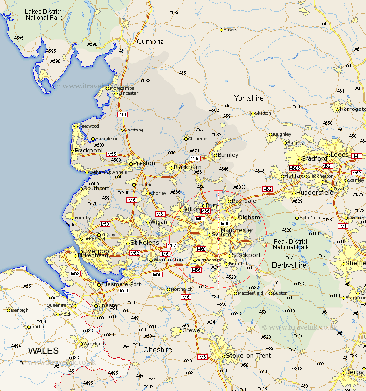
Lancashire Map Showing Location of Chorlton On Medlock
District: Manchester
Easting: 385617 Northing: 396712
Latitude: 53.47 Longitude: -2.22
 = Chorlton On Medlock
Easting: 385617 Northing: 396712
Latitude: 53.47 Longitude: -2.22
= Chorlton On Medlock
This Chorlton On Medlock map below is supplied by Google. Use the tools in the top left corner to zoom into street level or zoom out for a road map, you may also need to zoom in to see Chorlton On Medlock on the map. Click and drag the map to move around. If the map fails to load try and refresh your browser or zoom in or out (+ or -).
Update - it seems Google no longer allow people to use their maps for free! This Chorlton On Medlock map sometimes loads and sometimes gives a error. I am working on a solution.
Closest 30 Towns or Cities to Chorlton On Medlock (Population over 500)
Manchester 3.7km Salford 3.79km Droylsden 4.78km Droylesden 4.78km Chadderton 5.82km Stretford 6.88km Denton 6.88km Failsworth 7.83km Eccles 7.94km Ashton-under-Lyne 8.56km Ashton 8.56km Ashton under Lyne 8.56km Prestwich 8.62km Urmston 9.02km Middleton 9.33km Pendlebury 9.51km Swinton 9.57km Whitefield 10.78km Oldham 11.38km Radcliffe 12.05km Royton 12.94km Heywood 12.97km Kearsley 13.28km Walkden 13.34km Little Lever 13.57km Irlam 13.75km Shaw 14.19km Mossley 14.35km Hollingworth 14.44km Farnworth 15.26km