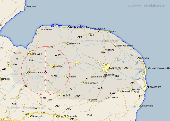
Norfolk Map Showing Location of Beechamwell
District: King's Lynn and West Norfolk
Easting: 574867 Northing: 305275
Latitude: 52.62 Longitude: 0.58
 = Beechamwell
Easting: 574867 Northing: 305275
Latitude: 52.62 Longitude: 0.58
= Beechamwell
This Beechamwell map below is supplied by Google. Use the tools in the top left corner to zoom into street level or zoom out for a road map, you may also need to zoom in to see Beechamwell on the map. Click and drag the map to move around. If the map fails to load try and refresh your browser or zoom in or out (+ or -).
Update - it seems Google no longer allow people to use their maps for free! This Beechamwell map sometimes loads and sometimes gives a error. I am working on a solution.
Closest 30 Towns or Cities to Beechamwell (Population over 500)
Marham 4.33km Swaffham 6.73km Stoke Ferry 7.15km Narborough 7.41km Northwold 7.5km Shouldham 7.7km Wereham 7.71km Methwold 11.35km Castle Acre 11.46km Great Palgrave 11.55km Palgrave 11.55km Runcton Holme 12.91km Runcton 12.91km Gayton 13.16km Middleton 13.62km North Runcton 13.72km Mundford 13.74km Necton 14km East Winch 14.13km Hilgay 14.44km Watlington 14.6km Downham Market 14.75km Ashill 14.75km Denver 15.1km Feltwell 15.21km Grimston 16.83km Southery 17.5km Great Massingham 17.6km Massingham 17.6km Watton 17.78km