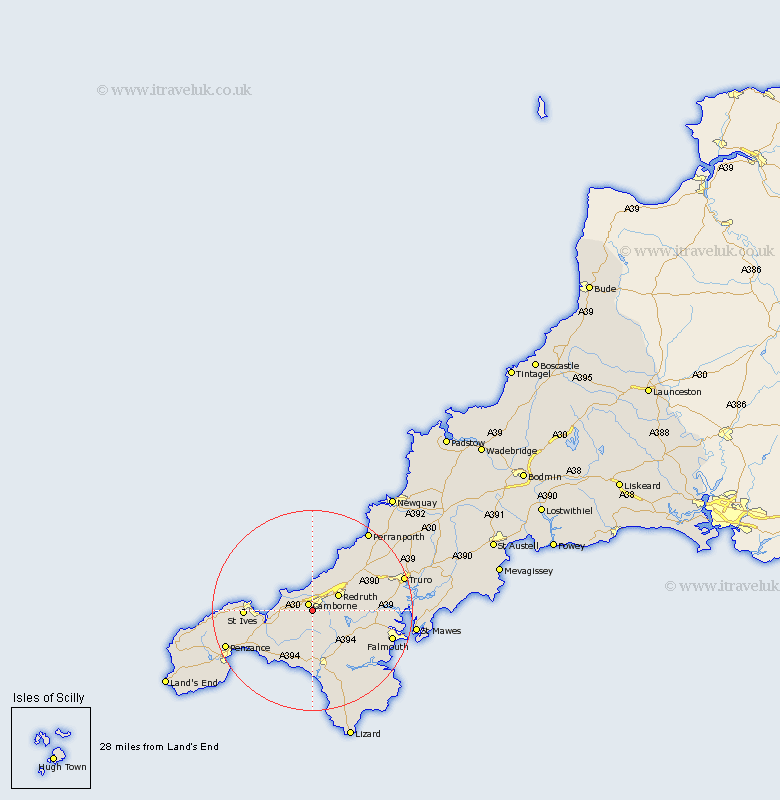
Cornwall Map Showing Location of Troon
Population: 1925
Area Size (ha): 27
District: Penwith
Easting: 164000 Northing: 39000
Latitude: 50.2 Longitude: -5.31
 = Troon
Area Size (ha): 27
District: Penwith
Easting: 164000 Northing: 39000
Latitude: 50.2 Longitude: -5.31
= Troon
This Troon map below is supplied by Google. Use the tools in the top left corner to zoom into street level or zoom out for a road map, you may also need to zoom in to see Troon on the map. Click and drag the map to move around. If the map fails to load try and refresh your browser or zoom in or out (+ or -).
Update - it seems Google no longer allow people to use their maps for free! This Troon map sometimes loads and sometimes gives a error. I am working on a solution.
Closest 30 Towns or Cities to Troon (Population over 500)
Camborne 1.63km Illogan 4.43km Gwinear 4.75km Hayle 5.83km Heyl 5.83km Crowan 5.95km Redruth 6.25km Portreath 7.07km Wendron 8.79km Stithians 9.12km St Day 9.45km Saint Day 9.45km St. Day 9.45km Gwennap 10.14km Germoe 11.03km Germol 11.03km Chacewater 11.29km Helstone 11.61km Helston 11.61km Breage 11.63km St Hilary 12.37km St. Hilary 12.37km Saint Hilary 12.37km Gweek 13.18km Porthleven 13.36km St Ives 13.7km St. Ives 13.7km Saint Ives 13.7km Marazion 13.74km Constantine 13.91km