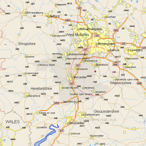
Worcestershire Map Showing Location of Astwood Bank
Population: 2173
Area Size (ha): 85
District: Redditch
Easting: 404550 Northing: 261359
Latitude: 52.25 Longitude: -1.93
 = Astwood Bank
Area Size (ha): 85
District: Redditch
Easting: 404550 Northing: 261359
Latitude: 52.25 Longitude: -1.93
= Astwood Bank
This Astwood Bank map below is supplied by Google. Use the tools in the top left corner to zoom into street level or zoom out for a road map, you may also need to zoom in to see Astwood Bank on the map. Click and drag the map to move around. If the map fails to load try and refresh your browser or zoom in or out (+ or -).
Update - it seems Google no longer allow people to use their maps for free! This Astwood Bank map sometimes loads and sometimes gives a error. I am working on a solution.
Closest 30 Towns or Cities to Astwood Bank (Population over 500)
Feckenham 3.4km Redditch 5.56km Radditch 5.56km Inkberrow 6.01km Beoley 7.76km Hanbury 8.15km Alvechurch 9.33km Stoke Prior 10.64km Bishampton 10.86km Church Lench 11.18km Barnt Green 11.63km Bromsgrove 12.96km Harvington 13.03km Coston Hackett 13.42km Cofton Hackett 13.42km Crowle 13.67km Cleeve Prior 13.75km Droitwich 14.86km Lickey End 15.21km Lickey 15.21km Fladbury 15.87km Dodford 15.88km Great Dodford 15.88km Peopleton 15.9km Offenham 16.72km Charlton 17.02km Littleton 17.02km South Littleton 17.02km Pershore 17.39km Pebworth 17.39km