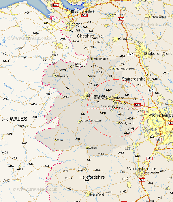
Shropshire Map Showing Location of Madeley Court
Easting: 369548 Northing: 304083
Latitude: 52.63 Longitude: -2.45
 = Madeley Court
Latitude: 52.63 Longitude: -2.45
= Madeley Court
This Madeley Court map below is supplied by Google. Use the tools in the top left corner to zoom into street level or zoom out for a road map, you may also need to zoom in to see Madeley Court on the map. Click and drag the map to move around. If the map fails to load try and refresh your browser or zoom in or out (+ or -).
Update - it seems Google no longer allow people to use their maps for free! This Madeley Court map sometimes loads and sometimes gives a error. I am working on a solution.
Closest 30 Towns or Cities to Madeley Court (Population over 500)
Ironbridge 1.12km Madeley 1.12km Broseley 2.91km Barrow 3.87km Barrow Bridge 3.87km Dawley 3.88km Telford 6.11km Shifnal 6.74km Oakengates 7.5km Much Wenlock 7.7km Hadley 7.75km Ketley 7.75km Wellington 8.67km Donnington 9.34km Downington 9.34km Trench 9.34km Wrockwardine 10.81km Worfield 10.84km Cressage 11.25km Bridgnorth 11.35km Lilleshall 11.62km Albrighton 12.37km Woodcote 13.62km Edgmond 15km Claverley 15.04km Cherrington 15.21km Rodington 15.81km Ercall Magna 16.45km High Ercall 16.45km Ditton Priors 16.79km