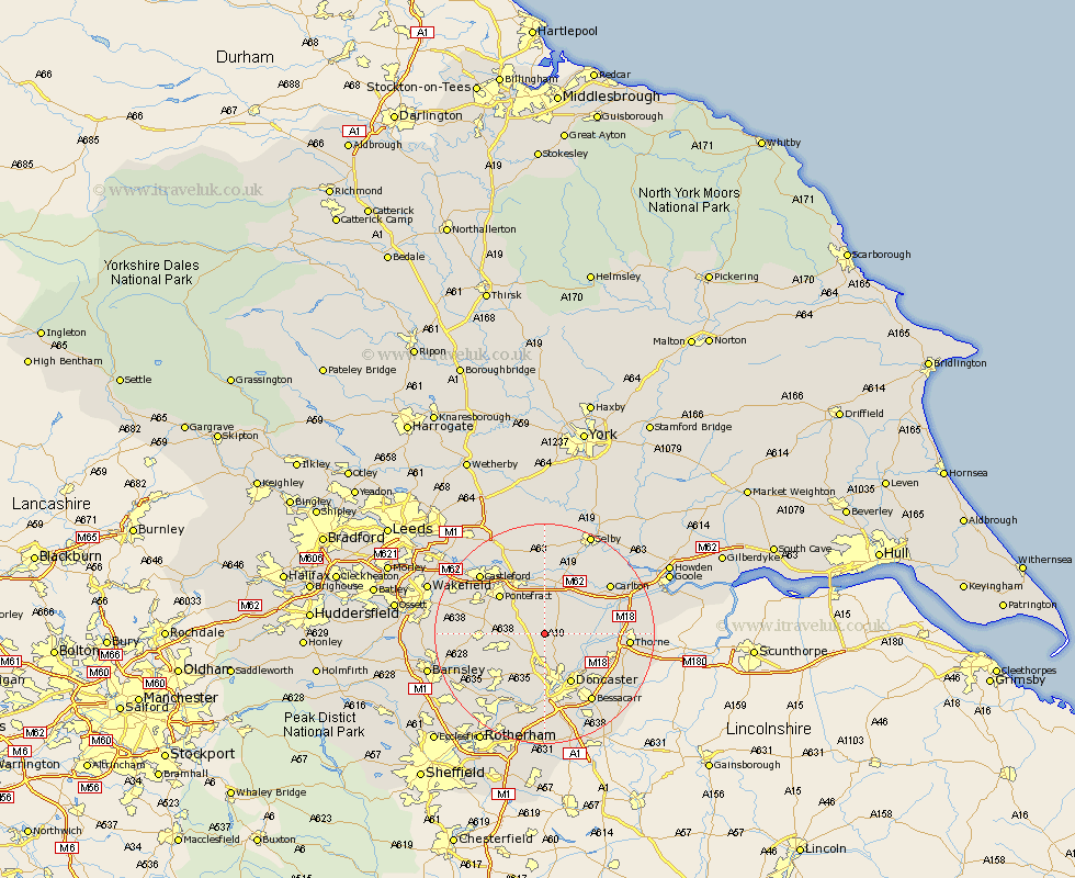
Yorkshire Map Showing Location of Campsall
Population: 2013
Area Size (ha): 41
District: Doncaster
Easting: 454017 Northing: 413686
Latitude: 53.62 Longitude: -1.18
 = Campsall
Area Size (ha): 41
District: Doncaster
Easting: 454017 Northing: 413686
Latitude: 53.62 Longitude: -1.18
= Campsall
This Campsall map below is supplied by Google. Use the tools in the top left corner to zoom into street level or zoom out for a road map, you may also need to zoom in to see Campsall on the map. Click and drag the map to move around. If the map fails to load try and refresh your browser or zoom in or out (+ or -).
Update - it seems Google no longer allow people to use their maps for free! This Campsall map sometimes loads and sometimes gives a error. I am working on a solution.
Closest 30 Towns or Cities to Campsall (Population over 500)
Norton 1.85km Sutton 2.16km Askern 3.3km North Elmsall 4.4km Adwick le Street 5.56km Carcroft 5.56km Upton 6.6km Darrington 7.09km South Elmsall 7.57km Badsworth 7.7km Whitley 7.73km South Kirkby 7.91km Moorthorpe 8.55km Brodsworth 9.23km Pollington 9.49km Barnby Dun 9.5km Barnby Don 9.5km Bentley 9.53km Knottingly 9.83km Knottingley 9.83km Kirk Sandall 9.93km Stainforth 10.07km Doncaster 10.27km Ackworth 10.56km Ackworth Moor Top 10.56km High Ackworth 10.56km Pontefract 10.68km Hensall 10.77km Fishlake 11.15km Hemsworth 11.15km