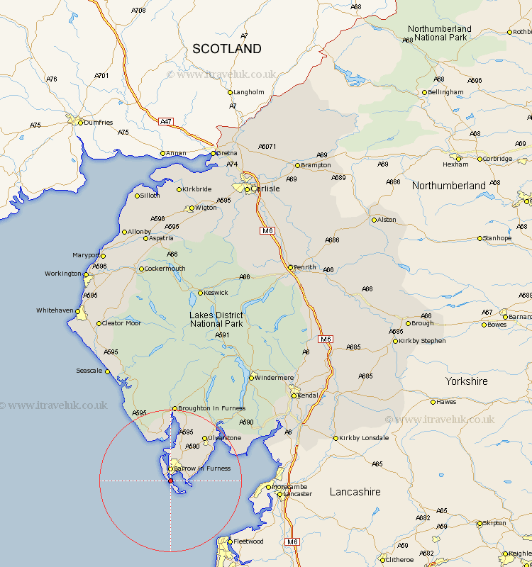
Cumbria Map Showing Location of Isle Of Walney
Population: 10225
Area Size (ha): 163
District: Barrow-in-Furness
Easting: 319326 Northing: 465988
Latitude: 54.08 Longitude: -3.23
 = Isle Of Walney
Area Size (ha): 163
District: Barrow-in-Furness
Easting: 319326 Northing: 465988
Latitude: 54.08 Longitude: -3.23
= Isle Of Walney
This Isle Of Walney map below is supplied by Google. Use the tools in the top left corner to zoom into street level or zoom out for a road map, you may also need to zoom in to see Isle Of Walney on the map. Click and drag the map to move around. If the map fails to load try and refresh your browser or zoom in or out (+ or -).
Update - it seems Google no longer allow people to use their maps for free! This Isle Of Walney map sometimes loads and sometimes gives a error. I am working on a solution.
Closest 30 Towns or Cities to Isle Of Walney (Population over 500)
Dalton in Furness 8.6km Dalton 8.6km Aldingham 9.45km Great Urswick 10.62km Lindal 10.75km Lindal in Furness 10.75km Askam in Furness 11.17km Askam 11.17km Pennington 12.89km Millom 13.16km Ulverstone 15.61km Ulverston 15.61km Holker 20.63km Lower Holker 20.63km Haverthwaite 21.85km Bootle 22.16km Colton 23.63km Arnside 28.33km Beetham 33.05km Conistan 33.32km Coniston 33.32km Milnthorpe 33.82km Heversham 34.66km Levens 34.67km Hawkshead 34.97km Holme 35.45km Seascale 37.1km Gosforth 37.54km Windermere 37.64km Natland 39.41km