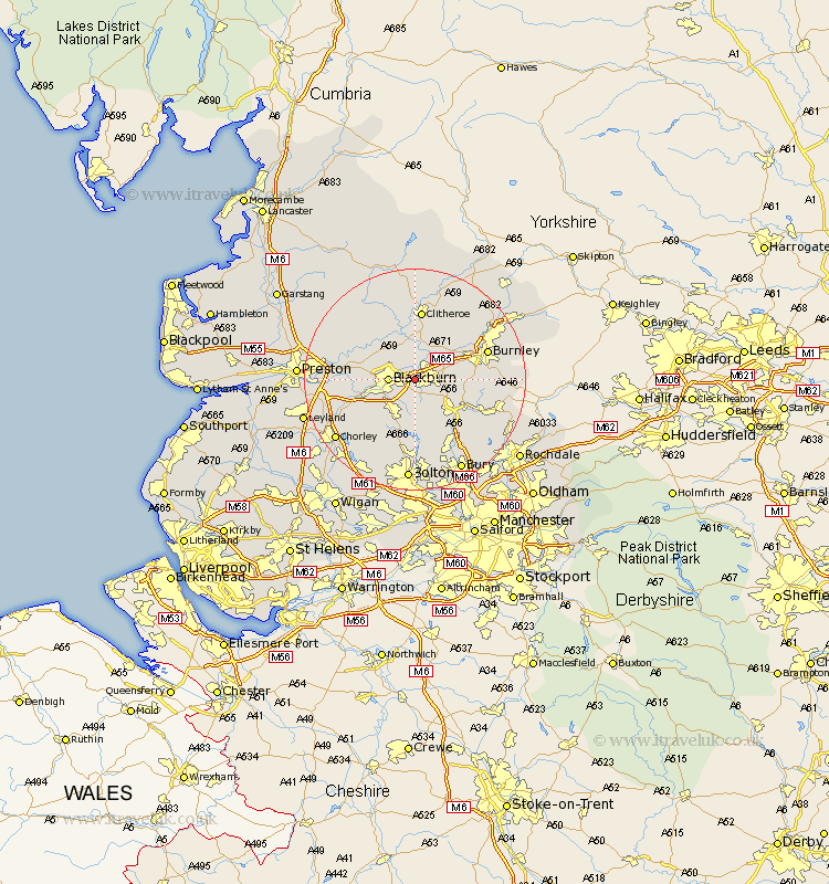
Lancashire Map Showing Location of Rishton
Population: 6496
Area Size (ha): 100
District: Hyndburn
Easting: 372526 Northing: 428286
Latitude: 53.75 Longitude: -2.42
 = Rishton
Area Size (ha): 100
District: Hyndburn
Easting: 372526 Northing: 428286
Latitude: 53.75 Longitude: -2.42
= Rishton
This Rishton map below is supplied by Google. Use the tools in the top left corner to zoom into street level or zoom out for a road map, you may also need to zoom in to see Rishton on the map. Click and drag the map to move around. If the map fails to load try and refresh your browser or zoom in or out (+ or -).
Update - it seems Google no longer allow people to use their maps for free! This Rishton map sometimes loads and sometimes gives a error. I am working on a solution.
Closest 30 Towns or Cities to Rishton (Population over 500)
Rishton 0km Oswaldtwistle 2.16km Church 2.19km Clayton le Moors 2.87km Clayton le Moor 2.87km Clayton-le-Moors 2.87km Great Harwood 3.7km Blackburn 4.38km Accrington 4.76km Wilpshire 5.74km Simonstone 5.74km Langho 5.97km Darwen 6.46km Altham 6.61km Whalley 7.42km Hapton 7.54km Padiham 7.54km Haslingden 7.81km Mellor 7.89km Sabden 9.22km Ribchester 9.47km Withnell 10.39km Rawtenstall 10.39km Hoghton 11.57km Edenfield 12.03km Brinscall 12.35km Clitheroe 13.02km Turton 13.02km Burnley 13.27km Samlesbury 13.28km