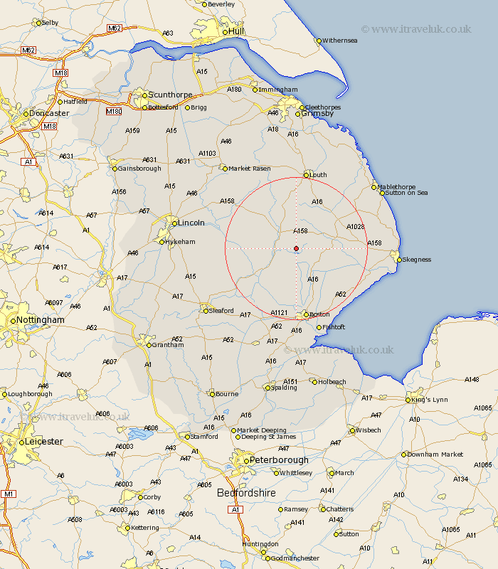
Lincolnshire Map Showing Location of Hameringham
District: East Lindsey
Easting: 530000 Northing: 365000
Latitude: 53.17 Longitude: -0.06
 = Hameringham
Easting: 530000 Northing: 365000
Latitude: 53.17 Longitude: -0.06
= Hameringham
This Hameringham map below is supplied by Google. Use the tools in the top left corner to zoom into street level or zoom out for a road map, you may also need to zoom in to see Hameringham on the map. Click and drag the map to move around. If the map fails to load try and refresh your browser or zoom in or out (+ or -).
Update - it seems Google no longer allow people to use their maps for free! This Hameringham map sometimes loads and sometimes gives a error. I am working on a solution.
Closest 30 Towns or Cities to Hameringham (Population over 500)
Mareham-on-the-Hill 2.08km Mareham 2.08km Mareham on the Hill 2.08km Horncastle 5.58km Banovallum 5.58km Carrington 9.2km Coningsby 9.24km Stickney 10.36km Spilsby 10.52km Woodhall Spa 10.91km Tattershall 12.13km Frithville 14.82km Sibsey 15.51km Billinghay 17.78km Willoughby 17.91km Bardney 18.32km Alford 18.43km Wrangle 18.68km Martin 19.35km Friskney 19.37km Leake 19.56km Old Leake 19.56km Legbourne 19.88km Burgh le Marsh 20.42km Boston 20.47km Brothertoft 20.53km Leverton 20.64km Croft 20.67km Wragby 20.88km Wainfleet 21.64km