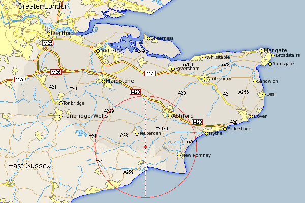
Kent Map Showing Location of Isle Of Oxney
District: Ashford
Easting: 592863 Northing: 127806
Latitude: 51.02 Longitude: 0.75
 = Isle Of Oxney
Easting: 592863 Northing: 127806
Latitude: 51.02 Longitude: 0.75
= Isle Of Oxney
This Isle Of Oxney map below is supplied by Google. Use the tools in the top left corner to zoom into street level or zoom out for a road map, you may also need to zoom in to see Isle Of Oxney on the map. Click and drag the map to move around. If the map fails to load try and refresh your browser or zoom in or out (+ or -).
Update - it seems Google no longer allow people to use their maps for free! This Isle Of Oxney map sometimes loads and sometimes gives a error. I am working on a solution.
Closest 30 Towns or Cities to Isle Of Oxney (Population over 500)
Wittersham 3.96km Woodchurch 5.68km Tenterden 6.5km High Halden 7.76km Ham Street 7.91km Rolvenden 8.37km Orlestone 8.93km Ruckinge 10.03km Rockinge 10.03km Shadoxhurst 10.37km Bethersden 11.18km Kingsnorth 11.6km Benenden 12.23km Beneden 12.23km Biddenden 12.34km Sandhurst 12.82km New Romney 13.36km Smarden 13.78km Lydd 13.83km Hothfield 15.54km Mersham 15.81km Aldington 15.82km Ashford 15.96km Cranbrook 16.86km Frittenden 17.43km Dymchurch 17.49km Headcorn 17.51km Kennington 17.51km Hawkhurst 17.58km Hinxhill 18.22km