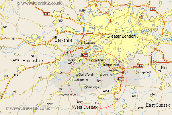
Surrey Map Showing Location of Leith Hill
District: Mole Valley
Easting: 514143 Northing: 144000
Latitude: 51.18 Longitude: -0.37
 = Leith Hill
Easting: 514143 Northing: 144000
Latitude: 51.18 Longitude: -0.37
= Leith Hill
This Leith Hill map below is supplied by Google. Use the tools in the top left corner to zoom into street level or zoom out for a road map, you may also need to zoom in to see Leith Hill on the map. Click and drag the map to move around. If the map fails to load try and refresh your browser or zoom in or out (+ or -).
Update - it seems Google no longer allow people to use their maps for free! This Leith Hill map sometimes loads and sometimes gives a error. I am working on a solution.
Closest 30 Towns or Cities to Leith Hill (Population over 500)
Wotton 2.19km Abinger 2.32km Holmwood 3.49km Westcott 3.89km Dorking 4.38km Ockley 5.68km Capel 6.56km Newdigate 6.89km Shere 7.21km Ewhurst 7.25km Effingham 7.77km Mickleham 8.19km Albury 8.34km Horsley 8.75km East Horsley 8.75km Leigh 9.48km Buckland 9.85km Betchworth 9.85km Cranleigh 9.85km West Horsley 10.94km Chilworth 11.09km St Martha 11.09km St. Martha 11.09km Saint Martha 11.09km Charlwood 11.1km Wonersh 11.62km Leatherhead 11.65km Reigate 11.84km West Clandon 11.88km Bramley 12.78km