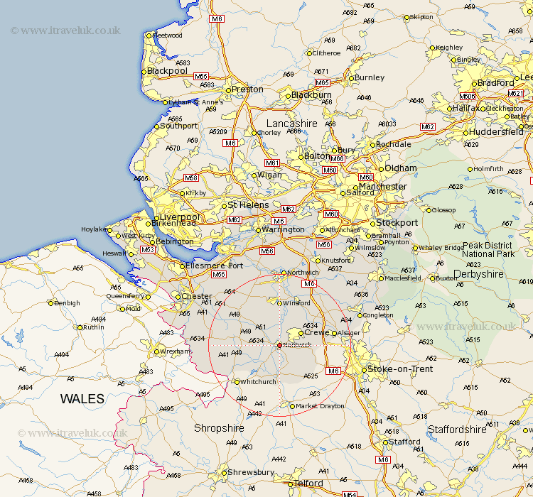
Cheshire Map Showing Location of Nantwich
Population: 11519
Area Size (ha): 312
District: Crewe and Nantwich
Easting: 365383 Northing: 352320
Latitude: 53.07 Longitude: -2.52
 = Nantwich
Area Size (ha): 312
District: Crewe and Nantwich
Easting: 365383 Northing: 352320
Latitude: 53.07 Longitude: -2.52
= Nantwich
This Nantwich map below is supplied by Google. Use the tools in the top left corner to zoom into street level or zoom out for a road map, you may also need to zoom in to see Nantwich on the map. Click and drag the map to move around. If the map fails to load try and refresh your browser or zoom in or out (+ or -).
Update - it seems Google no longer allow people to use their maps for free! This Nantwich map sometimes loads and sometimes gives a error. I am working on a solution.
Closest 30 Towns or Cities to Nantwich (Population over 500)
Willaston 2.23km Wistaston 3.82km Wybunbury 5.8km Crewe 6.69km Wrenbury cum Frith 7.87km Wrenbury 7.87km Audlem 9.27km Bunbury 10.5km Sandbach 12.45km Winsford 12.97km Tarporley 13.64km Little Budworth 14.11km Middlewich 14.11km Middlewick 14.11km Alsager 14.94km Harthill 15.7km Brereton 16.53km Brereton cum Smethwick 16.53km Rode Heath 16.54km Whitegate 16.83km Tattenhall 17.6km Malpas 17.61km Holmes Chapel 17.88km Davenham 18.52km Hartford 18.66km Cuddington 19.34km Delamere 19.45km Kelshall Hill 20.04km Kelsall Hill 20.04km Kelsall 20.04km