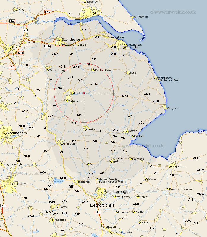
Lincolnshire Map Showing Location of Cherry Willingham
Population: 3586
Area Size (ha): 114
District: West Lindsey
Easting: 505000 Northing: 372000
Latitude: 53.23 Longitude: -0.43
 = Cherry Willingham
Area Size (ha): 114
District: West Lindsey
Easting: 505000 Northing: 372000
Latitude: 53.23 Longitude: -0.43
= Cherry Willingham
This Cherry Willingham map below is supplied by Google. Use the tools in the top left corner to zoom into street level or zoom out for a road map, you may also need to zoom in to see Cherry Willingham on the map. Click and drag the map to move around. If the map fails to load try and refresh your browser or zoom in or out (+ or -).
Update - it seems Google no longer allow people to use their maps for free! This Cherry Willingham map sometimes loads and sometimes gives a error. I am working on a solution.
Closest 30 Towns or Cities to Cherry Willingham (Population over 500)
Reepham 0.46km Fiskerton 0.46km Washingborough 3.31km Sudbrooke 3.92km Heighington 4.66km Nettleham 5.21km Scothern 5.66km Potter Hanworth 5.72km Branston 6.27km Lincoln 7.1km Nocton 7.55km Bardney 7.58km Dunholme 7.77km Dunholm 7.77km Welton 8.21km Dunston 9.55km Holton 9.58km Wragby 10.03km Waddington 10.35km Metheringham 11.38km Scampton 11.83km Scrampton 11.83km Hykeham 11.88km North Hykeham 11.88km Skellingthorpe 12.65km Martin 14.49km Thorpe 14.89km Thorpe on the Hill 14.89km Thorpe-on-the-Hill 14.89km Scopwick 15.05km