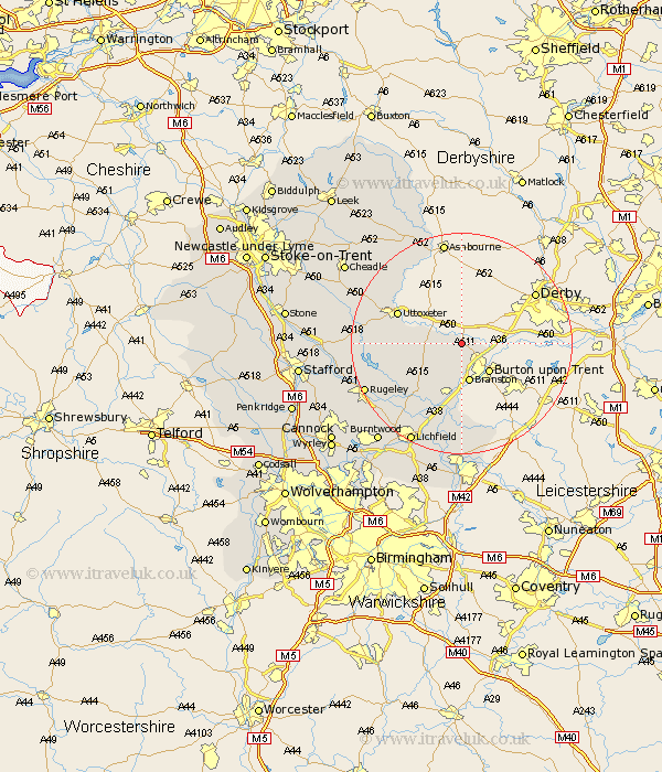
Staffordshire Map Showing Location of Hatton
Population: 5555
Area Size (ha): 138
District: East Staffordshire
Easting: 421000 Northing: 328000
Latitude: 52.85 Longitude: -1.69
 = Hatton
Area Size (ha): 138
District: East Staffordshire
Easting: 421000 Northing: 328000
Latitude: 52.85 Longitude: -1.69
= Hatton
This Hatton map below is supplied by Google. Use the tools in the top left corner to zoom into street level or zoom out for a road map, you may also need to zoom in to see Hatton on the map. Click and drag the map to move around. If the map fails to load try and refresh your browser or zoom in or out (+ or -).
Update - it seems Google no longer allow people to use their maps for free! This Hatton map sometimes loads and sometimes gives a error. I am working on a solution.
Closest 30 Towns or Cities to Hatton (Population over 500)
Tutbury 0.35km Rolleston 3.09km Hanbury 3.49km Anslow 3.58km Tatenhill 7.32km Branston 7.42km Marchington 7.77km Uttoxeter 12.27km Yoxall 12.71km Abbots Bromley 13.59km Rocester 14.88km Alrewas 15km Edingale 16.55km Denstone 17.02km Denston 17.02km Mayfield 17.62km Colton 17.87km Armitage 18.36km Elford 18.5km Alton 18.53km Rugeley 18.84km Clifton Campville 19.02km Whittington 19.14km Longdon 19.7km Checkley 19.92km Church Leigh 20.16km Leigh 20.16km Lichfield 20.33km Colwich 21.13km Wigginton 22.1km