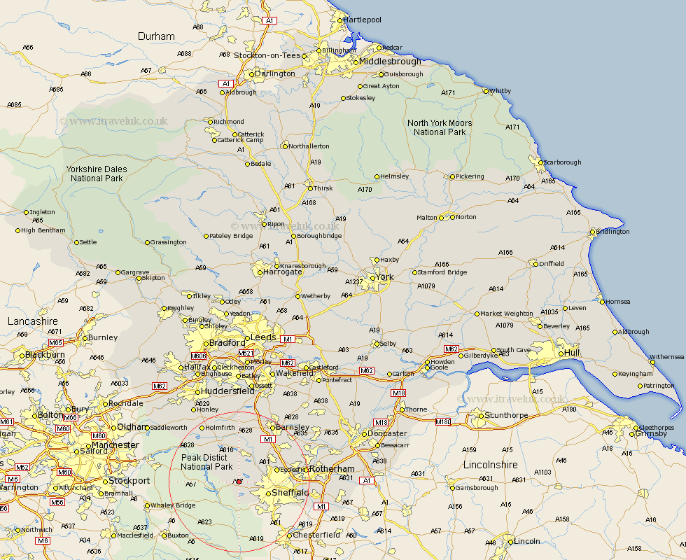
Yorkshire Map Showing Location of Ughill
District: Sheffield
Easting: 425484 Northing: 389339
Latitude: 53.4 Longitude: -1.62
 = Ughill
Easting: 425484 Northing: 389339
Latitude: 53.4 Longitude: -1.62
= Ughill
This Ughill map below is supplied by Google. Use the tools in the top left corner to zoom into street level or zoom out for a road map, you may also need to zoom in to see Ughill on the map. Click and drag the map to move around. If the map fails to load try and refresh your browser or zoom in or out (+ or -).
Update - it seems Google no longer allow people to use their maps for free! This Ughill map sometimes loads and sometimes gives a error. I am working on a solution.
Closest 30 Towns or Cities to Ughill (Population over 500)
Bradfield 2.16km Wharncliffe Side 5.76km Wharncliffe 5.76km Oughtibridge 5.76km Sheffield 8.58km Stocksbridge 9.33km Ecclesfield 10.61km Wortley 10.78km Penistone 12.98km Tankersley 13.58km Birdwell 14.2km Wentworth 15.18km Silkstone 15.19km Hoyland 15.67km Hoyland Nether 15.67km Worsbrough 15.69km Worsborough 15.69km Dunford Bridge 15.69km Dodworth 15.82km Orgreave 16.68km Treeton 17.78km Rotherdam 18.06km Rotherham 18.06km Cawthorne 18.67km Whiston 18.78km Denby Dale 18.83km Barnsley 18.87km Wombwell 19.34km Holmfirth 19.41km Rawmarsh 19.58km