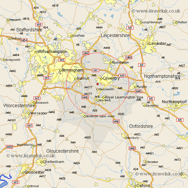
Warwickshire Map Showing Location of Tile Hill
District: Warwick
Easting: 428356 Northing: 276264
Latitude: 52.38 Longitude: -1.58
 = Tile Hill
Easting: 428356 Northing: 276264
Latitude: 52.38 Longitude: -1.58
= Tile Hill
This Tile Hill map below is supplied by Google. Use the tools in the top left corner to zoom into street level or zoom out for a road map, you may also need to zoom in to see Tile Hill on the map. Click and drag the map to move around. If the map fails to load try and refresh your browser or zoom in or out (+ or -).
Update - it seems Google no longer allow people to use their maps for free! This Tile Hill map sometimes loads and sometimes gives a error. I am working on a solution.
Closest 30 Towns or Cities to Tile Hill (Population over 500)
Kenilworth 3.7km Berkswell 3.87km Berkeswell 3.87km Coventry 4.35km Allesley 4.35km Stoneleigh 5.85km Meriden 6km Keresley 6.51km Temple Balsall 7.03km Baginton 7.04km Corley 7.75km Hampton in Arden 8.74km Fillongley 9.27km Bubbenhall 9.68km Leamington Spa 9.87km Royal Leamington Spa 9.87km Leamington 9.87km Knowle 10.18km Hatton 10.31km Rowington 10.85km Shrewley 10.86km Warwick 11.12km Bickenhill 11.7km Bedworth 12.19km Brandon 12.58km Lapworth 12.61km Arley 12.98km Shustoke 13.41km Wolston 13.7km Solihull 14.07km