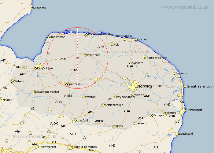
Norfolk Map Showing Location of Tatterford
District: North Norfolk
Easting: 586420 Northing: 327974
Latitude: 52.82 Longitude: 0.77
 = Tatterford
Easting: 586420 Northing: 327974
Latitude: 52.82 Longitude: 0.77
= Tatterford
This Tatterford map below is supplied by Google. Use the tools in the top left corner to zoom into street level or zoom out for a road map, you may also need to zoom in to see Tatterford on the map. Click and drag the map to move around. If the map fails to load try and refresh your browser or zoom in or out (+ or -).
Update - it seems Google no longer allow people to use their maps for free! This Tatterford map sometimes loads and sometimes gives a error. I am working on a solution.
Closest 30 Towns or Cities to Tatterford (Population over 500)
Tattersett 2.9km Tatterset 2.9km East Rudham 3.36km Fakenham 4.84km Sculthorpe 5km Syderstone 5km Colkirk 5.9km South Creake 7.41km Great Massingham 8.72km Massingham 8.72km Little Snoring 9.69km Bircham 9.69km Great Bircham 9.69km Great Ryburgh 10.08km Ryburgh 10.08km Walsingham 10.78km Little Walsingham 10.78km Mileham 10.84km Litcham 11.34km Docking 13.68km Castle Acre 14.14km Burnham Market 14.99km Beetley 15.02km North Elmham 15.43km Grimston 15.59km Hindolveston 16.8km Great Palgrave 16.83km Palgrave 16.83km Foulsham 17.21km Foulham 17.21km