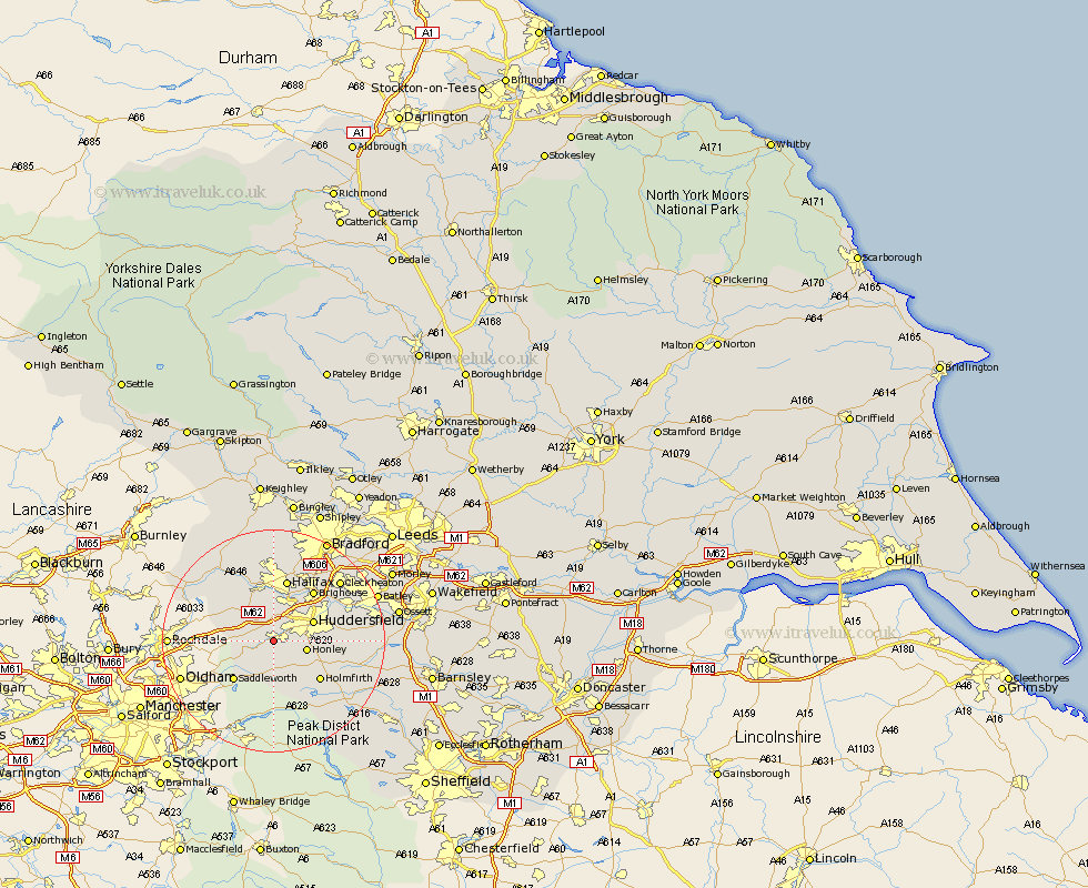
Yorkshire Map Showing Location of Slaithwaite
District: Kirklees
Easting: 407717 Northing: 413383
Latitude: 53.62 Longitude: -1.88
 = Slaithwaite
Easting: 407717 Northing: 413383
Latitude: 53.62 Longitude: -1.88
= Slaithwaite
This Slaithwaite map below is supplied by Google. Use the tools in the top left corner to zoom into street level or zoom out for a road map, you may also need to zoom in to see Slaithwaite on the map. Click and drag the map to move around. If the map fails to load try and refresh your browser or zoom in or out (+ or -).
Update - it seems Google no longer allow people to use their maps for free! This Slaithwaite map sometimes loads and sometimes gives a error. I am working on a solution.
Closest 30 Towns or Cities to Slaithwaite (Population over 500)
Meltham 4.32km Honley 5.8km Ripponden 7.09km Huddersfield 7.56km Elland 8.11km Holme 8.12km Saddleworth 9.93km Holmfirth 10.69km Halifax 11.33km Brighouse 11.37km Luddenden Foot 11.6km Shepley 11.61km Kirkburton 12.24km Mytholmroyd 12.92km Shelley 13.32km Dunford Bridge 14.18km Mirfield 14.31km Liversedge 15.22km Denby Dale 15.34km Cleckheaton 15.63km Emley 16.49km Queensbury 16.82km Heckmondwike 17.02km Hebden Bridge 17.23km Heptonstall 17.23km Todmorden 17.24km Denholme 18.56km Middlestown 19.04km Middletown 19.04km Batley 19.27km