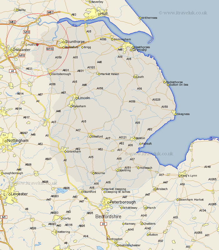
Lincolnshire Map Showing Location of Sandtoft
Easting: 473946 Northing: 408394
Latitude: 53.57 Longitude: -0.88
 = Sandtoft
Latitude: 53.57 Longitude: -0.88
= Sandtoft
This Sandtoft map below is supplied by Google. Use the tools in the top left corner to zoom into street level or zoom out for a road map, you may also need to zoom in to see Sandtoft on the map. Click and drag the map to move around. If the map fails to load try and refresh your browser or zoom in or out (+ or -).
Update - it seems Google no longer allow people to use their maps for free! This Sandtoft map sometimes loads and sometimes gives a error. I am working on a solution.
Closest 30 Towns or Cities to Sandtoft (Population over 500)
Belton 4.78km Crowle 5.75km Epworth 7.09km Burringham 8.8km West Butterwick 9km Haxey 9.85km Gunhouse 10.07km Gunness 10.07km Keadby 10.57km Owston Ferry 12.06km Owston 12.06km Flixborough 14.32km Scunthorpe 15.52km Bottesford 15.52km Messingham 15.86km Burton 16.12km Burton upon Stather 16.12km Scotter 17.06km Blyton 18.48km Scotton 19.02km Morton 19.68km Winterton 20.86km Appleby 21.63km Kirton in Lindsey 21.78km Kirton 21.78km Gainesborough 21.81km Gainsborough 21.81km Broughton 22.01km Winteringham 22.74km Scawby 23.42km