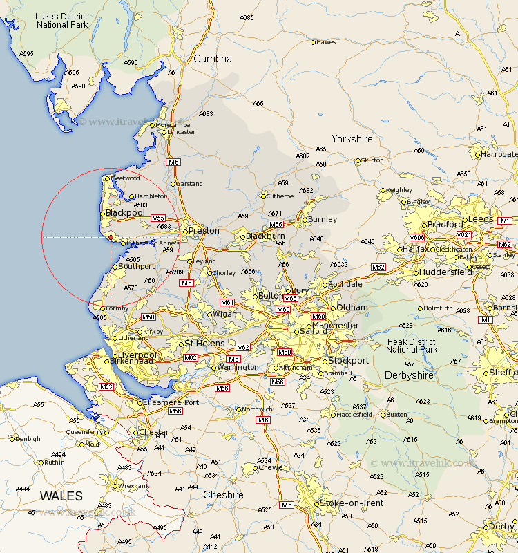
Lancashire Map Showing Location of Saint Annes On The Sea
District: Fylde
Easting: 332966 Northing: 428685
Latitude: 53.75 Longitude: -3.02
 = Saint Annes On The Sea
Easting: 332966 Northing: 428685
Latitude: 53.75 Longitude: -3.02
= Saint Annes On The Sea
This Saint Annes On The Sea map below is supplied by Google. Use the tools in the top left corner to zoom into street level or zoom out for a road map, you may also need to zoom in to see Saint Annes On The Sea on the map. Click and drag the map to move around. If the map fails to load try and refresh your browser or zoom in or out (+ or -).
Update - it seems Google no longer allow people to use their maps for free! This Saint Annes On The Sea map sometimes loads and sometimes gives a error. I am working on a solution.
Closest 30 Towns or Cities to Saint Annes On The Sea (Population over 500)
Lytham Saint Anne's 3.78km Lytham St. Anne's 3.78km Lytham 3.78km Lytham St Anne's 3.78km Plumpton 6.61km Blackpool 7.73km Warton 8.96km Southport 9.33km Poulton le Fylde 9.52km Poulton 9.52km Freckleton 9.86km Banks 9.92km Kirkham 10.53km Great Singleton 10.76km Singleton 10.76km Elswick 12.75km Thornton 12.98km Cleveleys 13.16km Hambleton 14.08km Lea 14.36km Lea Town 14.36km Longton 14.72km Great Eccleston 14.86km Eccleston 14.86km Inskip 15.19km Tarleton 15.21km Hoole 15.3km Much Hoole 15.3km Hutton 16.55km Bretherton 17km