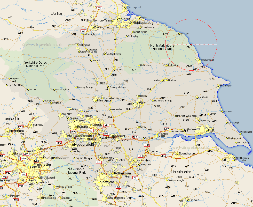
Yorkshire Map Showing Location of Ravenscar
District: Scarborough
Easting: 497103 Northing: 502039
Latitude: 54.4 Longitude: -0.5
 = Ravenscar
Easting: 497103 Northing: 502039
Latitude: 54.4 Longitude: -0.5
= Ravenscar
This Ravenscar map below is supplied by Google. Use the tools in the top left corner to zoom into street level or zoom out for a road map, you may also need to zoom in to see Ravenscar on the map. Click and drag the map to move around. If the map fails to load try and refresh your browser or zoom in or out (+ or -).
Update - it seems Google no longer allow people to use their maps for free! This Ravenscar map sometimes loads and sometimes gives a error. I am working on a solution.
Closest 30 Towns or Cities to Ravenscar (Population over 500)
Fylingdales 2.35km Hawsker 6.5km Cloughton 9.13km Burniston 10.77km Sleights 11.69km Whitby 12.28km Scalby 14.22km Scarborough 14.27km Seamer 19.57km Eastfield 20.18km Cayton 21km Brompton 21.08km Snainton 21.5km Hinderwell 22.22km Thornton Dale 23.5km Thornton-le-Dale 23.5km Yedingham 23.88km Pickering 24.19km Willerby 24.83km Filey 25.72km Sherburn 26.44km Hunmanby 29.09km Loftus 29.38km Rillington 31.02km Kirkby Moorside 31.77km Kirby Moorside 31.77km Brotton 33.09km Great Driffield 34.16km Norton 34.31km Skelton-in-Cleveland 34.95km