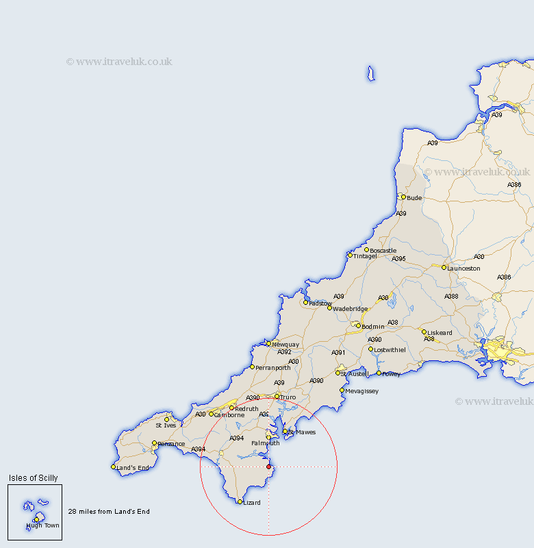
Cornwall Map Showing Location of Porthallow
District: Kerrier
Easting: 179372 Northing: 23134
Latitude: 50.07 Longitude: -5.08
 = Porthallow
Easting: 179372 Northing: 23134
Latitude: 50.07 Longitude: -5.08
= Porthallow
This Porthallow map below is supplied by Google. Use the tools in the top left corner to zoom into street level or zoom out for a road map, you may also need to zoom in to see Porthallow on the map. Click and drag the map to move around. If the map fails to load try and refresh your browser or zoom in or out (+ or -).
Update - it seems Google no longer allow people to use their maps for free! This Porthallow map sometimes loads and sometimes gives a error. I am working on a solution.
Closest 30 Towns or Cities to Porthallow (Population over 500)
Mawnan 3.89km Constantine 8.14km Constatine 8.14km Falmouth 9.26km Budock Water 9.56km Budock 9.56km Gweek 10.21km Penryn 11.18km Mylor 11.37km Mylor Bridge 11.37km Mullion 13.14km Gerrans 13.21km Landewednack 13.9km Wendron 14.01km Helstone 14.74km Helston 14.74km Stithians 14.8km St Feock 15.01km St. Feoch 15.01km St. Feock 15.01km Saint Feoch 15.01km St Feoch 15.01km Saint Feock 15.01km Feock 15.01km Porthleven 16.75km Gwennap 17.71km Crowan 18.02km Breage 18.22km Kea 18.68km St Day 19.85km