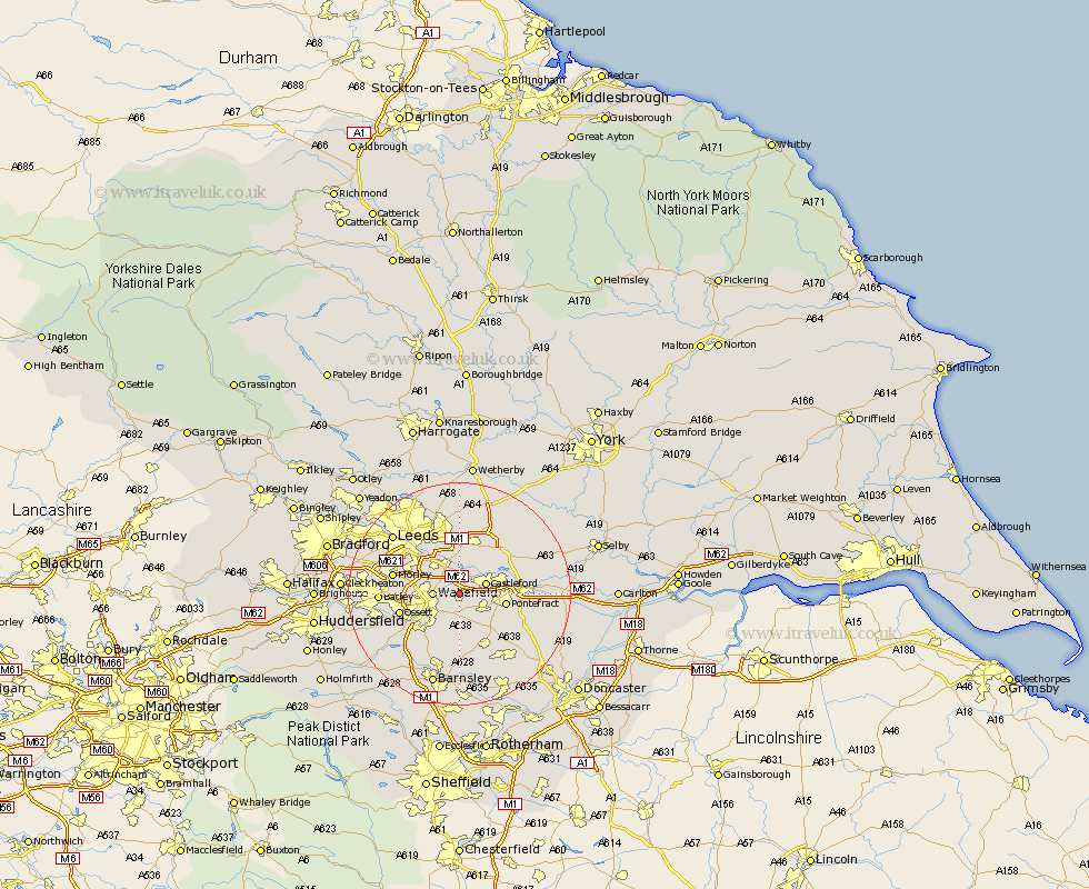
Yorkshire Map Showing Location of Normanton
Population: 19949
District: Wakefield
Easting: 438507 Northing: 422801
Latitude: 53.7 Longitude: -1.42
 = Normanton
District: Wakefield
Easting: 438507 Northing: 422801
Latitude: 53.7 Longitude: -1.42
= Normanton
This Normanton map below is supplied by Google. Use the tools in the top left corner to zoom into street level or zoom out for a road map, you may also need to zoom in to see Normanton on the map. Click and drag the map to move around. If the map fails to load try and refresh your browser or zoom in or out (+ or -).
Update - it seems Google no longer allow people to use their maps for free! This Normanton map sometimes loads and sometimes gives a error. I am working on a solution.
Closest 30 Towns or Cities to Normanton (Population over 500)
Featherstone 3.29km Stanley 4.39km Wakefield 4.39km Castleford 4.76km Crofton 5.56km Lofthouse 6.62km Rothwell 7.08km Swillington 7.42km Fitzwilliam 7.73km High Ackworth 7.81km Ackworth 7.81km Ackworth Moor Top 7.81km Pontefract 7.9km Kippax 8.11km Ryhill 9.33km Garforth 9.52km Horbury 9.53km Brotherton 10.05km Ossett 10.55km Crigglestone 10.68km Royston 11.33km Morley 11.57km Darrington 11.58km Hemsworth 11.96km Notton 11.96km Badsworth 12.04km Knottingly 12.07km Knottingley 12.07km Micklefield 12.4km Upton 12.77km