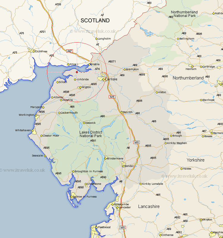
Cumbria Map Showing Location of Port Carlisle
District: Allerdale
Easting: 324187 Northing: 560496
Latitude: 54.93 Longitude: -3.18
 = Port Carlisle
Easting: 324187 Northing: 560496
Latitude: 54.93 Longitude: -3.18
= Port Carlisle
This Port Carlisle map below is supplied by Google. Use the tools in the top left corner to zoom into street level or zoom out for a road map, you may also need to zoom in to see Port Carlisle on the map. Click and drag the map to move around. If the map fails to load try and refresh your browser or zoom in or out (+ or -).
Update - it seems Google no longer allow people to use their maps for free! This Port Carlisle map sometimes loads and sometimes gives a error. I am working on a solution.
Closest 30 Towns or Cities to Port Carlisle (Population over 500)
Bowness-on-Solway 2.83km Bowness on Solway 2.83km Kirkbride 5.66km Burgh by Sands 8.72km Burgh 8.72km Burgh-by-Sands 8.72km Wigton 11.32km Rockcliff 12.78km Rockcliffe 12.78km Silloth 13.87km Thursby 14.01km Longtown 15.69km Bromfield 15.75km Stanwix 16.4km Carlisle 16.92km Dalston 16.95km Westward 16.98km Aspatria 22.53km Caldbeck 23.82km Wetheral 24.59km Hesket Newmarket 24.67km Irthington 26.62km Crosscanonby 27.4km Hayton 27.94km Brampton 28.8km Bridekirk 30.18km Dearham 30.49km Cockermouth 31.51km Farlam 32km Ainstable 32.39km