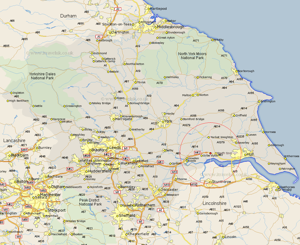
Yorkshire Map Showing Location of North Cave
Population: 1943
Easting: 488974 Northing: 430908
Latitude: 53.77 Longitude: -0.65
 = North Cave
Easting: 488974 Northing: 430908
Latitude: 53.77 Longitude: -0.65
= North Cave
This North Cave map below is supplied by Google. Use the tools in the top left corner to zoom into street level or zoom out for a road map, you may also need to zoom in to see North Cave on the map. Click and drag the map to move around. If the map fails to load try and refresh your browser or zoom in or out (+ or -).
Update - it seems Google no longer allow people to use their maps for free! This North Cave map sometimes loads and sometimes gives a error. I am working on a solution.
Closest 30 Towns or Cities to North Cave (Population over 500)
Newport 2.16km South Cave 3.29km Welton 6.62km Brough 8.62km Eastrington 8.96km Holme upon Spalding Moor 10.66km Holme 10.66km Market Weighton 11.17km North Ferriby 11.32km Ferriby 11.32km Swanland 11.57km Skidby 12.19km Bishop Burton 12.32km Willerby 13.15km Kirk Ella 13.28km Hook 14.28km Seaton Ross 14.34km Anlaby 14.72km Howden 14.72km Cherry Burton 14.85km Swinefleet 15.21km Goole 15.29km Hessle 15.3km Barton upon Humber 17km Barton 17km Beverley 17.02km Leconfield 17.21km Leckonfield 17.21km Airmyn 17.36km Cottingham 17.62km