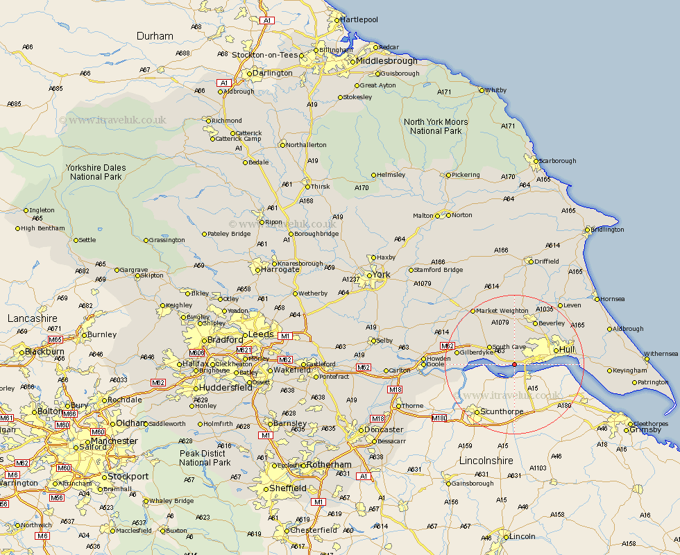
Yorkshire Map Showing Location of Ferriby
Population: 3640
Area Size (ha): 120
Easting: 498977 Northing: 425545
Latitude: 53.72 Longitude: -0.5
 = Ferriby
Area Size (ha): 120
Easting: 498977 Northing: 425545
Latitude: 53.72 Longitude: -0.5
= Ferriby
This Ferriby map below is supplied by Google. Use the tools in the top left corner to zoom into street level or zoom out for a road map, you may also need to zoom in to see Ferriby on the map. Click and drag the map to move around. If the map fails to load try and refresh your browser or zoom in or out (+ or -).
Update - it seems Google no longer allow people to use their maps for free! This Ferriby map sometimes loads and sometimes gives a error. I am working on a solution.
Closest 30 Towns or Cities to Ferriby (Population over 500)
Swanland 2.15km Hessle 4.39km Welton 4.76km Anlaby 4.76km Kirk Ella 4.95km Barton upon Humber 5.75km Barton 5.75km Brough 5.79km Willerby 6.46km Skidby 7.72km South Cave 8.61km Newport 9.52km Cottingham 10.66km Kingston upon Hull 10.97km North Cave 11.32km Hull 11.83km Bishop Burton 12.97km Woodmansey 13.5km Wawne 13.53km Beverley 14.07km Sutton 14.15km Sutton-on-Hull 14.15km Sutton on Hull 14.15km Cherry Burton 16.68km Leconfield 17km Leckonfield 17km Paull 17.55km Tickton 18.36km Eastrington 19km Skirlaugh Station 19.84km