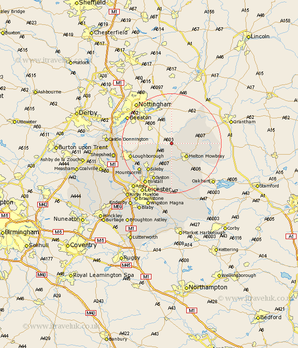
Leicestershire Map Showing Location of Nether Broughton
District: Melton
Easting: 469632 Northing: 324888
Latitude: 52.82 Longitude: -0.97
 = Nether Broughton
Easting: 469632 Northing: 324888
Latitude: 52.82 Longitude: -0.97
= Nether Broughton
This Nether Broughton map below is supplied by Google. Use the tools in the top left corner to zoom into street level or zoom out for a road map, you may also need to zoom in to see Nether Broughton on the map. Click and drag the map to move around. If the map fails to load try and refresh your browser or zoom in or out (+ or -).
Update - it seems Google no longer allow people to use their maps for free! This Nether Broughton map sometimes loads and sometimes gives a error. I am working on a solution.
Closest 30 Towns or Cities to Nether Broughton (Population over 500)
Hose 4.85km Abkettley 5.01km Ab Kettleby 5.01km Scalford 6.97km Melton Mowbray 7.89km Stathern 8.67km Frisby 9.27km Frisby on the Wreak 9.27km Frisby-on-the-Wreak 9.27km Hoby 9.54km Wymeswold 9.7km Wimeswould 9.7km Eaton 10.25km Waltham on the Wolds 11.36km Waltham-on-the-Wolds 11.36km Waltham 11.36km Burton 11.52km Burton on the Wolds 11.52km Burton-on-the-Wolds 11.52km Rearsby 11.99km Gaddesby 12.98km Sileby 14.29km Redmile 14.53km Barrow 15.43km Barrow upon Soar 15.43km Queniboro 15.5km Queniborough 15.5km Syston 16.29km Quorndon 16.34km Mountsorrel 16.61km