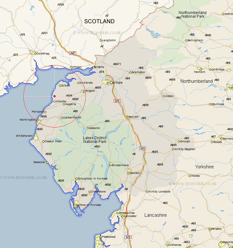
Cumbria Map Showing Location of Old Mawbray
District: Allerdale
Easting: 308939 Northing: 545944
Latitude: 54.8 Longitude: -3.42
 = Old Mawbray
Easting: 308939 Northing: 545944
Latitude: 54.8 Longitude: -3.42
= Old Mawbray
This Old Mawbray map below is supplied by Google. Use the tools in the top left corner to zoom into street level or zoom out for a road map, you may also need to zoom in to see Old Mawbray on the map. Click and drag the map to move around. If the map fails to load try and refresh your browser or zoom in or out (+ or -).
Update - it seems Google no longer allow people to use their maps for free! This Old Mawbray map sometimes loads and sometimes gives a error. I am working on a solution.
Closest 30 Towns or Cities to Old Mawbray (Population over 500)
Crosscanonby 7.49km Aspatria 7.71km Silloth 8.08km Bromfield 9.61km Dearham 11.17km Maryport 12.34km Broughton Moor 13.37km Bridekirk 13.37km Flimby 14.47km Cockermouth 15.43km Brigham 16.68km Kirkbride 16.68km Wigton 17.48km Westward 18.26km Workington 19.26km Bowness on Solway 21.02km Bowness-on-Solway 21.02km Dean 22.27km Thursby 23.78km Caldbeck 24.66km Distington 25.24km Lamplugh 25.96km Lowca 26.37km Hesket Newmarket 26.71km Burgh 26.82km Burgh by Sands 26.82km Burgh-by-Sands 26.82km Dalston 28.01km Parton 28.07km Keswick 29.43km