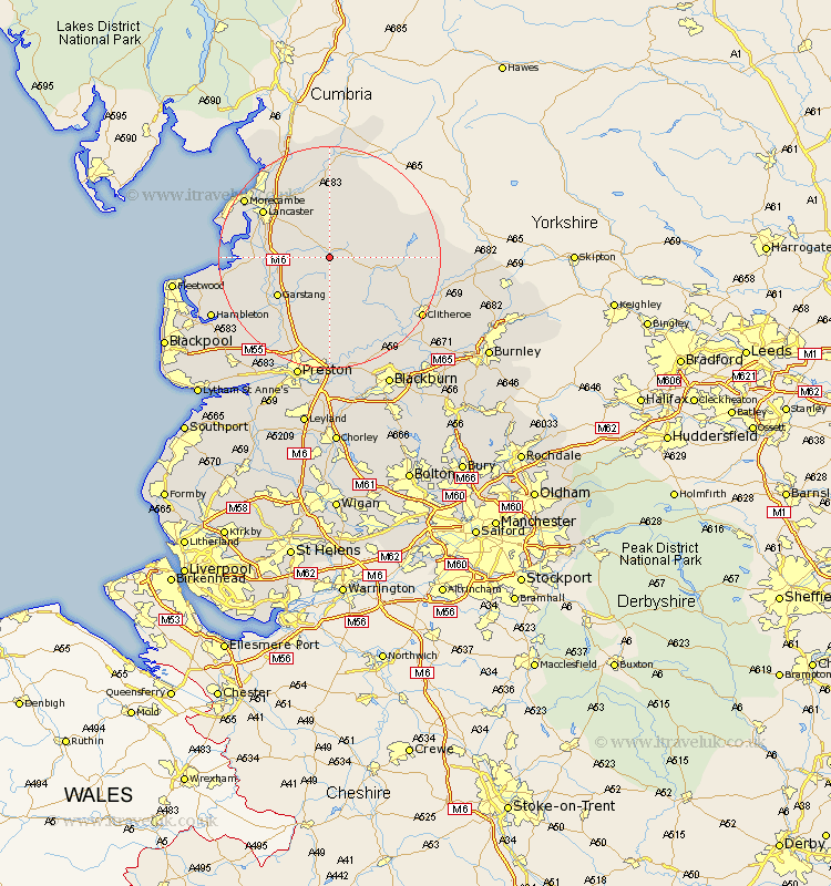
Lancashire Map Showing Location of Marshaw
District: Lancaster
Easting: 358456 Northing: 452498
Latitude: 53.97 Longitude: -2.63
 = Marshaw
Easting: 358456 Northing: 452498
Latitude: 53.97 Longitude: -2.63
= Marshaw
This Marshaw map below is supplied by Google. Use the tools in the top left corner to zoom into street level or zoom out for a road map, you may also need to zoom in to see Marshaw on the map. Click and drag the map to move around. If the map fails to load try and refresh your browser or zoom in or out (+ or -).
Update - it seems Google no longer allow people to use their maps for free! This Marshaw map sometimes loads and sometimes gives a error. I am working on a solution.
Closest 30 Towns or Cities to Marshaw (Population over 500)
Chipping 9.83km Forton 9.99km Garstang 11.45km Cockerham 12.14km Caton 12.38km Claughton on Brock 12.39km Claughton 12.39km Claughton-on-Brock 12.39km Catterall 14.14km Lancaster 14.23km Overton 14.64km Longridge 15.19km Bolton le Sands 16.25km Nether Kellet 16.67km Middleton 16.76km Goosnargh 16.82km Waddington 16.95km Over Kellet 17.91km Broughton 17.92km Barton 17.92km Morecambe 18km Morecombe 18km Grimsargh 18.54km Carnforth 18.81km Clitheroe 18.9km Pilling 18.91km Grindleton 18.97km Ribchester 19.66km Inskip 19.79km Eccleston 20.05km