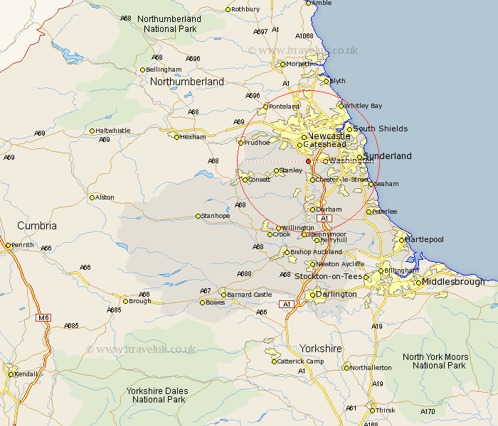
Durham Map Showing Location of Low Eighton
District: Gateshead
Easting: 426717 Northing: 556230
Latitude: 54.9 Longitude: -1.58
 = Low Eighton
Easting: 426717 Northing: 556230
Latitude: 54.9 Longitude: -1.58
= Low Eighton
This Low Eighton map below is supplied by Google. Use the tools in the top left corner to zoom into street level or zoom out for a road map, you may also need to zoom in to see Low Eighton on the map. Click and drag the map to move around. If the map fails to load try and refresh your browser or zoom in or out (+ or -).
Update - it seems Google no longer allow people to use their maps for free! This Low Eighton map sometimes loads and sometimes gives a error. I am working on a solution.
Closest 30 Towns or Cities to Low Eighton (Population over 500)
Ouston Moor 2.11km Ouston 2.11km Lamesley 2.14km Birtley 2.14km Pelton 3.85km Washington 4.26km Washington New Town 4.26km Gateshead-on-Tyne 5.46km Gateshead on Tyne 5.46km Gateshead 5.46km Chester-le-Street 5.66km Felling 6.29km Edmondsley 6.41km Whickham 7.39km Burnopfield 8.53km Hebburn on Tyne 8.55km Hebburn-on-Tyne 8.55km Hebburn 8.55km Stanley 8.57km West Boldon 9.3km Boldon 9.3km Houghton le Spring 9.31km Sacriston 9.51km Rowlands Gill 9.77km Blaydon 10.51km West Rainton 10.69km Annfield Plain 11.09km Witton Gilbert 11.57km Jarrow-on-Tyne 12.33km Jarrow on Tyne 12.33km