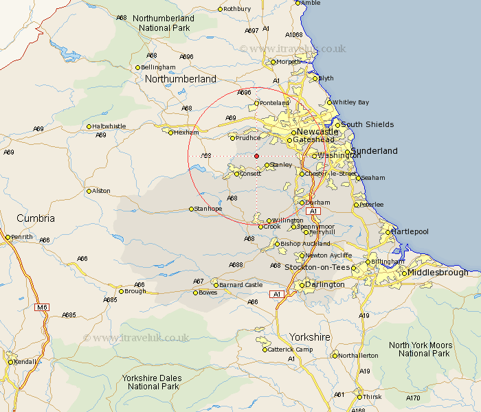
Durham Map Showing Location of Lintz Green
District: Derwentside
Easting: 416030 Northing: 556179
Latitude: 54.9 Longitude: -1.75
 = Lintz Green
Easting: 416030 Northing: 556179
Latitude: 54.9 Longitude: -1.75
= Lintz Green
This Lintz Green map below is supplied by Google. Use the tools in the top left corner to zoom into street level or zoom out for a road map, you may also need to zoom in to see Lintz Green on the map. Click and drag the map to move around. If the map fails to load try and refresh your browser or zoom in or out (+ or -).
Update - it seems Google no longer allow people to use their maps for free! This Lintz Green map sometimes loads and sometimes gives a error. I am working on a solution.
Closest 30 Towns or Cities to Lintz Green (Population over 500)
Burnopfield 2.13km Rowlands Gill 2.14km Stanley 3.93km Leadgate 4.89km Whickham 5.64km Annfield Plain 5.66km Consett 7.7km Consetti 7.7km Blaydon 8.07km Ouston 9.02km Ouston Moor 9.02km Edmondsley 9.31km Lanchester 9.32km Lamesley 9.77km Gateshead 9.83km Gateshead on Tyne 9.83km Gateshead-on-Tyne 9.83km Pelton 10.28km Castleside 10.52km Birtley 11.87km Langley Park 12.33km Sacriston 12.59km Chester-le-Street 12.98km Cornsay 13.02km Esh 13.37km Witton Gilbert 13.4km Felling 13.59km Ushaw Moor 14.47km Washington 14.92km Washington New Town 14.92km