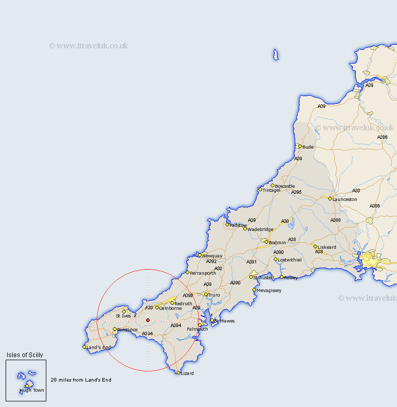
Cornwall Map Showing Location of Leedstown
District: Penwith
Easting: 159603 Northing: 35125
Latitude: 50.17 Longitude: -5.37
 = Leedstown
Easting: 159603 Northing: 35125
Latitude: 50.17 Longitude: -5.37
= Leedstown
This Leedstown map below is supplied by Google. Use the tools in the top left corner to zoom into street level or zoom out for a road map, you may also need to zoom in to see Leedstown on the map. Click and drag the map to move around. If the map fails to load try and refresh your browser or zoom in or out (+ or -).
Update - it seems Google no longer allow people to use their maps for free! This Leedstown map sometimes loads and sometimes gives a error. I am working on a solution.
Closest 30 Towns or Cities to Leedstown (Population over 500)
Gwinear 1.85km Hayle 2.19km Heyl 2.19km Crowan 5.1km Germol 5.69km Germoe 5.69km Troon 5.85km Camborne 6.6km Saint Hilary 6.6km St Hilary 6.6km St. Hilary 6.6km Breage 7.79km Marazion 8.03km Perranuthnoe 8.14km Wendron 9.1km Ludgvan 9.1km Helstone 9.5km Helston 9.5km Porthleven 9.94km Saint Ives 10.19km St. Ives 10.19km St Ives 10.19km Illogan 10.27km Redruth 12.04km Portreath 12.09km Gweek 13.01km Stithians 13.19km Penzance 13.58km Madron 14.73km St. Day 15km