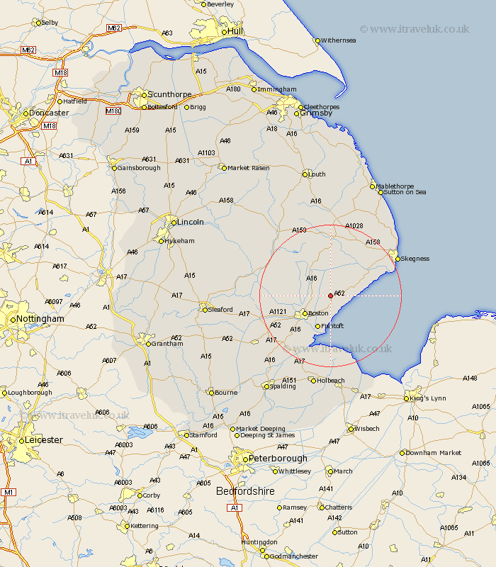
Lincolnshire Map Showing Location of Leake Side
District: Boston
Easting: 539683 Northing: 350509
Latitude: 53.03 Longitude: 0.08
 = Leake Side
Easting: 539683 Northing: 350509
Latitude: 53.03 Longitude: 0.08
= Leake Side
This Leake Side map below is supplied by Google. Use the tools in the top left corner to zoom into street level or zoom out for a road map, you may also need to zoom in to see Leake Side on the map. Click and drag the map to move around. If the map fails to load try and refresh your browser or zoom in or out (+ or -).
Update - it seems Google no longer allow people to use their maps for free! This Leake Side map sometimes loads and sometimes gives a error. I am working on a solution.
Closest 30 Towns or Cities to Leake Side (Population over 500)
Leake 2.16km Old Leake 2.16km Wrangle 2.23km Leverton 3.7km Sibsey 4.46km Bennington 5.56km Benington 5.56km Butterwick 5.67km Stickney 7.12km Friskney 7.65km Frieston 7.73km Freiston 7.73km Frithville 7.8km Boston 8.7km Fishtoft 9.85km Carrington 10.5km Wyberton 12.98km Wainfleet 13.38km Wainfleet All Saints 13.38km Brothertoft 13.47km Frampton 14.59km Croft 15.73km Kirton 15.74km Spilsby 16.72km Burgh le Marsh 17.1km Sutterton 18.55km Coningsby 19.1km Swineshead 19.17km Mareham on the Hill 19.45km Mareham 19.45km