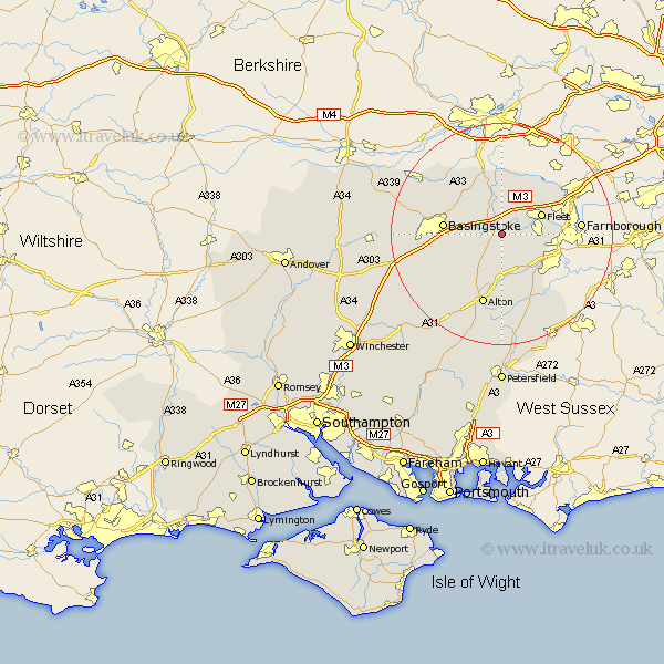
Hampshire Map Showing Location of Odiham
Population: 3388
Area Size (ha): 99
District: Hart
Easting: 474436 Northing: 150689
Latitude: 51.25 Longitude: -0.93
 = Odiham
Area Size (ha): 99
District: Hart
Easting: 474436 Northing: 150689
Latitude: 51.25 Longitude: -0.93
= Odiham
This Odiham map below is supplied by Google. Use the tools in the top left corner to zoom into street level or zoom out for a road map, you may also need to zoom in to see Odiham on the map. Click and drag the map to move around. If the map fails to load try and refresh your browser or zoom in or out (+ or -).
Update - it seems Google no longer allow people to use their maps for free! This Odiham map sometimes loads and sometimes gives a error. I am working on a solution.
Closest 30 Towns or Cities to Odiham (Population over 500)
Hook 2.19km Long Sutton 3.7km Winchfield 3.94km Rotherwick 4.37km Upton Grey 5.94km Hartley Wintney 6.56km Crondall 6.88km Basing 7.2km Fleet 7.88km Sherfield upon Loddon 8.03km Sherfield 8.03km Bentley 8.75km Froyle 9.33km Basingstoke 10.6km Aldershot 11.6km Binsted 11.65km Bramley 11.87km Blackwater 12.8km Alton 13.44km Farnborough 14.04km Silchester 14.48km Kingsley 15.53km Bordon 15.92km Bordon Camp 15.92km Dummer 16.08km Headley 16.91km Four Marks 16.91km Farringdon 17.04km Faringdon 17.04km Upper Farringdon 17.04km