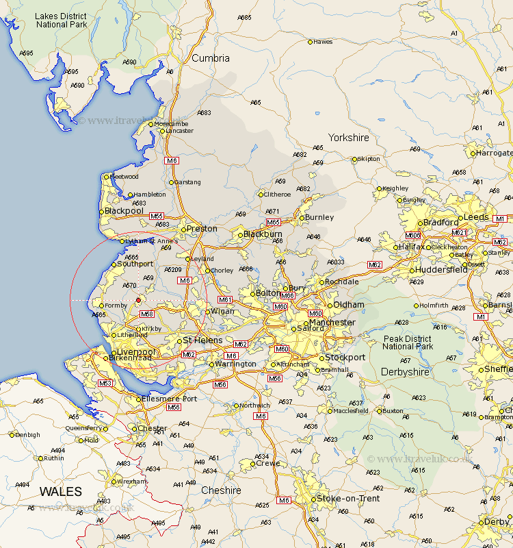
Lancashire Map Showing Location of Ormskirk
Population: 23705
Area Size (ha): 603
District: West Lancashire
Easting: 340400 Northing: 408191
Latitude: 53.57 Longitude: -2.9
 = Ormskirk
Area Size (ha): 603
District: West Lancashire
Easting: 340400 Northing: 408191
Latitude: 53.57 Longitude: -2.9
= Ormskirk
This Ormskirk map below is supplied by Google. Use the tools in the top left corner to zoom into street level or zoom out for a road map, you may also need to zoom in to see Ormskirk on the map. Click and drag the map to move around. If the map fails to load try and refresh your browser or zoom in or out (+ or -).
Update - it seems Google no longer allow people to use their maps for free! This Ormskirk map sometimes loads and sometimes gives a error. I am working on a solution.
Closest 30 Towns or Cities to Ormskirk (Population over 500)
Halsall 3.78km Aughton 3.87km Scarisbrick 4.31km Burscough 4.77km Lathom 5.5km Maghull 6.47km Rufford 7.09km Lydiate 7.09km Bickerstaffe 7.09km Skelmersdale 7.58km Sefton 8.63km Rainford 8.64km Parbold 8.99km Kirkby 9.27km Melling 9.34km Ince Blundell 9.5km Thornton 9.93km Formby 10.08km Mawdesley 10.41km Aintree 11.34km Hightown 11.36km Tarleton 11.96km Appley Bridge 12.11km Croston 12.77km Southport 12.93km Bretherton 12.93km Litherland 12.94km Banks 13.01km Crosby 13.24km Knowsley 13.39km