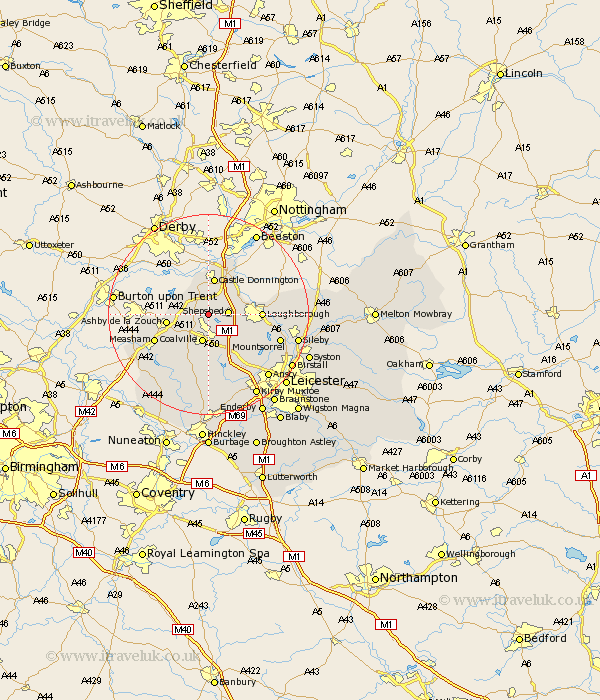
Leicestershire Map Showing Location of Osgathorpe
Population: 374
District: North West Leicestershire
Easting: 443852 Northing: 319020
Latitude: 52.77 Longitude: -1.35
 = Osgathorpe
District: North West Leicestershire
Easting: 443852 Northing: 319020
Latitude: 52.77 Longitude: -1.35
= Osgathorpe
This Osgathorpe map below is supplied by Google. Use the tools in the top left corner to zoom into street level or zoom out for a road map, you may also need to zoom in to see Osgathorpe on the map. Click and drag the map to move around. If the map fails to load try and refresh your browser or zoom in or out (+ or -).
Update - it seems Google no longer allow people to use their maps for free! This Osgathorpe map sometimes loads and sometimes gives a error. I am working on a solution.
Closest 30 Towns or Cities to Osgathorpe (Population over 500)
Belton 1.12km Worthington 3.36km Swannington 3.71km Shepshed 3.83km Sheepshed 3.83km Breedon 3.84km Breedon-on-the-Hill 3.84km Breedon on the Hill 3.84km Coleorton 3.84km Diseworth 3.87km Coalville 5.67km Hathern 6.98km Castle Donington 7.49km Castle Donnington 7.49km Kegworth 7.9km Ashby de la Zouch 8.07km Ravenstone with Snibston 8.14km Ravenstone 8.14km Packington 9.62km Loughborough 10.09km Heather 10.3km Woodhouse 11.52km Measham 11.53km Ibstock 11.61km Markfield 11.99km Quorndon 12.88km Bagworth 13.02km Donisthorpe 13.53km Barrow upon Soar 13.96km Barrow 13.96km