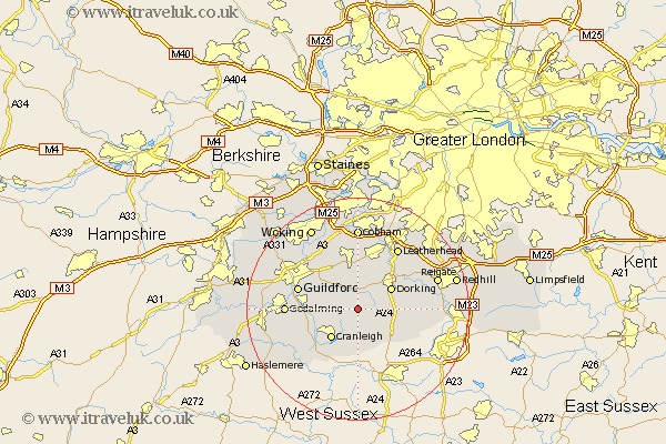
Surrey Map Showing Location of Holmbury St Mary
District: Guildford
Easting: 510649 Northing: 143923
Latitude: 51.18 Longitude: -0.42
 = Holmbury St Mary
Easting: 510649 Northing: 143923
Latitude: 51.18 Longitude: -0.42
= Holmbury St Mary
This Holmbury St Mary map below is supplied by Google. Use the tools in the top left corner to zoom into street level or zoom out for a road map, you may also need to zoom in to see Holmbury St Mary on the map. Click and drag the map to move around. If the map fails to load try and refresh your browser or zoom in or out (+ or -).
Update - it seems Google no longer allow people to use their maps for free! This Holmbury St Mary map sometimes loads and sometimes gives a error. I am working on a solution.
Closest 30 Towns or Cities to Holmbury St Mary (Population over 500)
Abinger 1.16km Wotton 2.97km Shere 3.95km Albury 5km Ewhurst 5.68km Westcott 5.95km Dorking 6.89km Holmwood 6.97km Cranleigh 7.25km Ockley 7.25km East Horsley 7.51km Horsley 7.51km Effingham 7.51km Chilworth 7.9km St. Martha 7.9km Saint Martha 7.9km St Martha 7.9km Wonersh 8.13km Capel 8.92km Bramley 9.29km West Clandon 9.42km West Horsley 9.56km Newdigate 10.01km Mickleham 10.17km Shalford 10.62km Guildford 11.09km Guilford 11.09km Ripley 12.05km Godalming 12.78km Goldaming 12.78km