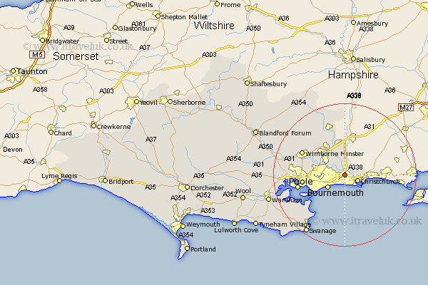
Dorset Map Showing Location of Holdenhurst
Easting: 412931 Northing: 94568
Latitude: 50.75 Longitude: -1.82
 = Holdenhurst
Latitude: 50.75 Longitude: -1.82
= Holdenhurst
This Holdenhurst map below is supplied by Google. Use the tools in the top left corner to zoom into street level or zoom out for a road map, you may also need to zoom in to see Holdenhurst on the map. Click and drag the map to move around. If the map fails to load try and refresh your browser or zoom in or out (+ or -).
Update - it seems Google no longer allow people to use their maps for free! This Holdenhurst map sometimes loads and sometimes gives a error. I am working on a solution.
Closest 30 Towns or Cities to Holdenhurst (Population over 500)
Parley 3.98km West Parley 3.98km Christchurch 3.98km Burton 5.05km Bournemouth 5.98km Ferndown 6.58km Fern Down 6.58km West Moors 9.45km St. Leonards 9.55km Saint Leonards 9.55km St Leonards 9.55km Poole 13.42km Verwood 13.44km Wimborne Minster 13.48km Wimborne 13.48km Horton 14.54km Studland 15.36km Corfe Mullen 15.68km Arne 16.23km Lytchett Matravers 17.59km Sturminster Marshall 17.97km Cranborne 18.1km Alderholt 18.57km Holton Heath Station 19.13km Holton Heath 19.13km Swanage 19.75km Corfe Castle 20.94km Langton Matravers 21.84km Spetisbury 22.36km Wareham 22.39km