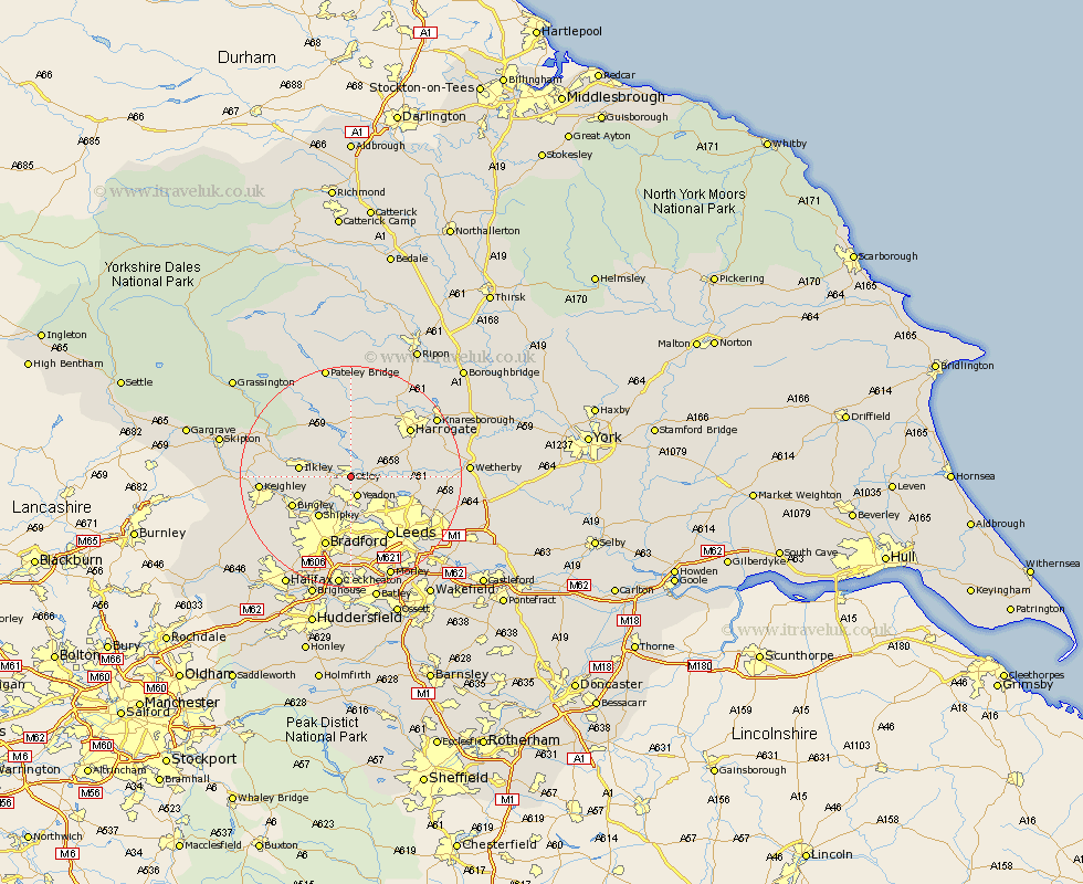
Yorkshire Map Showing Location of Otley
Population: 13474
Area Size (ha): 284
District: Leeds
Easting: 420805 Northing: 444939
Latitude: 53.9 Longitude: -1.68
 = Otley
Area Size (ha): 284
District: Leeds
Easting: 420805 Northing: 444939
Latitude: 53.9 Longitude: -1.68
= Otley
This Otley map below is supplied by Google. Use the tools in the top left corner to zoom into street level or zoom out for a road map, you may also need to zoom in to see Otley on the map. Click and drag the map to move around. If the map fails to load try and refresh your browser or zoom in or out (+ or -).
Update - it seems Google no longer allow people to use their maps for free! This Otley map sometimes loads and sometimes gives a error. I am working on a solution.
Closest 30 Towns or Cities to Otley (Population over 500)
Menston 3.77km Yeadon 3.86km Guiseley 4.3km Pool 4.37km Pool-in-Wharfedale 4.37km Poole 4.37km Burley in Wharfedale 4.75km Burley 4.75km Bramhope 4.75km Arthington Junction Station 5.46km Arthington 5.46km Baildon 7.79km Weeton 7.86km Horsforth 8.11km Ilkley 8.93km Shipley 9.21km Pannal 11.29km Bingley 11.3km Harewood 12.01km Leeds 12.91km Pudsey 13.02km Harrogate 13.5km Addingham 13.61km Bradford 13.69km Hampsthwaite 14.07km Darley 14.86km Wilsden 15.18km Keighley 15.4km Birstwith 15.45km Killinghall 15.63km