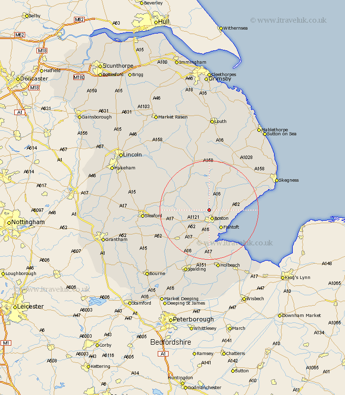
Lincolnshire Map Showing Location of Frith Bank
District: East Lindsey
Easting: 531912 Northing: 348442
Latitude: 53.02 Longitude: -0.03
 = Frith Bank
Easting: 531912 Northing: 348442
Latitude: 53.02 Longitude: -0.03
= Frith Bank
This Frith Bank map below is supplied by Google. Use the tools in the top left corner to zoom into street level or zoom out for a road map, you may also need to zoom in to see Frith Bank on the map. Click and drag the map to move around. If the map fails to load try and refresh your browser or zoom in or out (+ or -).
Update - it seems Google no longer allow people to use their maps for free! This Frith Bank map sometimes loads and sometimes gives a error. I am working on a solution.
Closest 30 Towns or Cities to Frith Bank (Population over 500)
Frithville 1.85km Sibsey 3.82km Boston 3.88km Brothertoft 5.8km Carrington 7.49km Butterwick 7.65km Freiston 7.88km Frieston 7.88km Leverton 8.02km Stickney 8.12km Bennington 8.65km Benington 8.65km Fishtoft 8.66km Leake 8.92km Old Leake 8.92km Wyberton 9.34km Wrangle 10.2km Frampton 11.17km Kirton 11.18km Swineshead 12.12km Sutterton 13.4km Coningsby 14.25km Bicker 14.26km Tattershall 14.49km Friskney 15.52km Donington 17.12km Heckington 17.63km Billinghay 18.28km Great Hale 18.31km Hale 18.31km