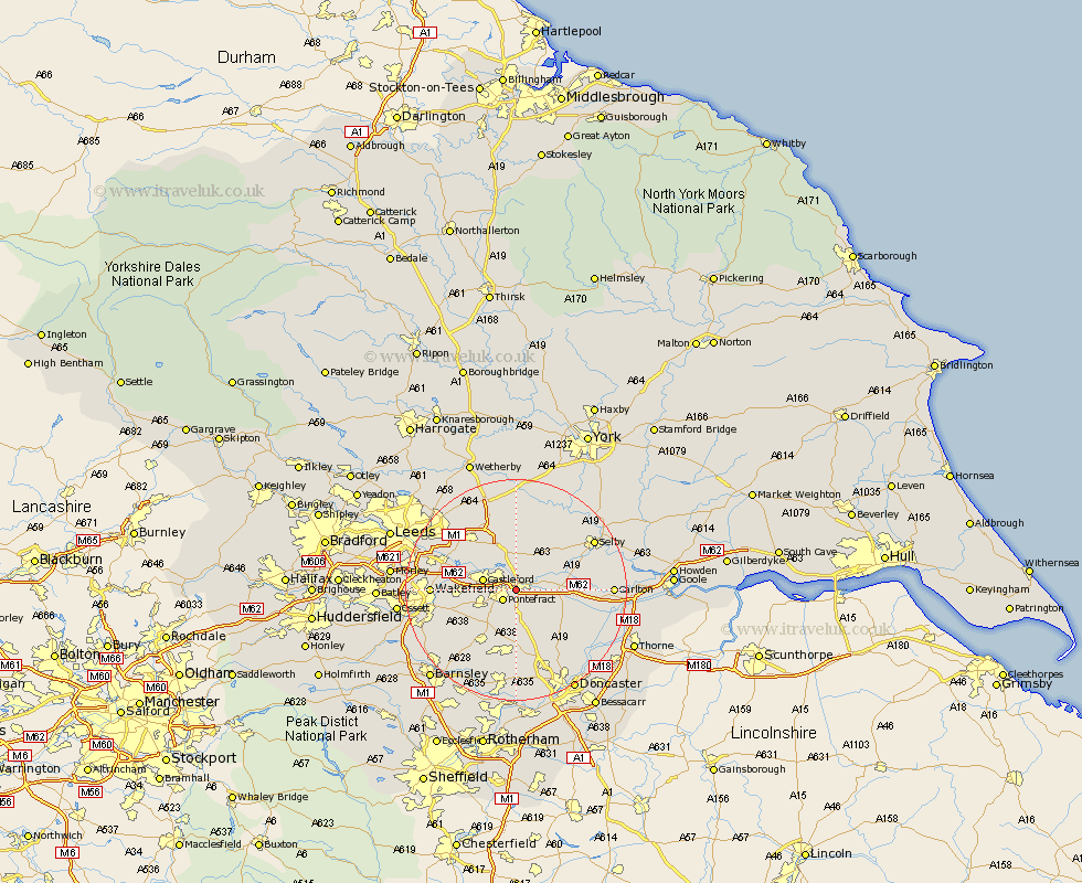
Yorkshire Map Showing Location of Ferrybridge
District: Wakefield
Easting: 448409 Northing: 422893
Latitude: 53.7 Longitude: -1.27
 = Ferrybridge
Easting: 448409 Northing: 422893
Latitude: 53.7 Longitude: -1.27
= Ferrybridge
This Ferrybridge map below is supplied by Google. Use the tools in the top left corner to zoom into street level or zoom out for a road map, you may also need to zoom in to see Ferrybridge on the map. Click and drag the map to move around. If the map fails to load try and refresh your browser or zoom in or out (+ or -).
Update - it seems Google no longer allow people to use their maps for free! This Ferrybridge map sometimes loads and sometimes gives a error. I am working on a solution.
Closest 30 Towns or Cities to Ferrybridge (Population over 500)
Brotherton 1.86km Knottingley 2.19km Knottingly 2.19km Pontefract 2.87km Darrington 3.86km Castleford 5.79km Monk Fryston 5.98km Featherstone 6.58km High Ackworth 7.08km Ackworth 7.08km Ackworth Moor Top 7.08km South Milford 7.5km Whitley 7.9km Norton 9.23km North Elmsall 9.33km Upton 9.33km Badsworth 9.52km Normanton 9.87km Hambleton 9.91km Kippax 9.91km Fitzwilliam 10.68km Campsall 10.77km Hensall 10.97km Sherburn in Elmet 11.17km Sherburn 11.17km Crofton 11.34km Micklefield 11.95km Garforth 12.03km Swillington 12.34km Hemsworth 12.4km