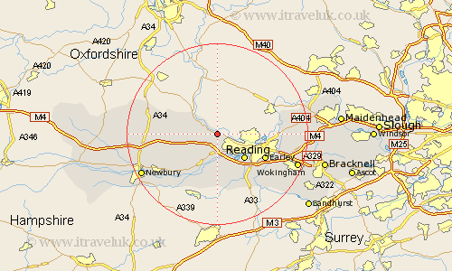
Berkshire Map Showing Location of Pangbourne
Population: 3251
Area Size (ha): 146
Easting: 463645 Northing: 176490
Latitude: 51.48 Longitude: -1.08
 = Pangbourne
Area Size (ha): 146
Easting: 463645 Northing: 176490
Latitude: 51.48 Longitude: -1.08
= Pangbourne
This Pangbourne map below is supplied by Google. Use the tools in the top left corner to zoom into street level or zoom out for a road map, you may also need to zoom in to see Pangbourne on the map. Click and drag the map to move around. If the map fails to load try and refresh your browser or zoom in or out (+ or -).
Update - it seems Google no longer allow people to use their maps for free! This Pangbourne map sometimes loads and sometimes gives a error. I am working on a solution.
Closest 30 Towns or Cities to Pangbourne (Population over 500)
Basildon 2.96km Tilehurst 5.07km Theale 5.68km Streatley 5.92km Bradfield 6.55km Reading 8.01km Beenham 8.73km Bucklebury 9.81km Burghfield 9.89km Earley 11.79km Aldermaston 12.04km Compton 12.12km Sonning 12.83km Shinfield 13.08km Hermitage 13.23km Cold Ash 13.72km Stratfield Mortimer 13.76km Mortimer 13.76km Woodley 14.34km Brimpton 14.7km Arborfield 14.81km Aberfield 14.81km Remenham 14.92km East Ilsley 14.92km Wargrave 15km Wagrave 15km Thatcham 15.72km Swallowfield 15.92km Twyford 16.26km Chieveley 16.58km