Rutland Map Showing Location of Edmondthorpe
Easting: 486644 Northing: 315883
Latitude: 52.73 Longitude: -0.72
 = Edmondthorpe
Latitude: 52.73 Longitude: -0.72
= Edmondthorpe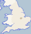
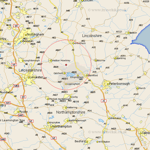
This Edmondthorpe map below is supplied by Google. Use the tools in the top left corner to zoom into street level or zoom out for a road map, you may also need to zoom in to see Edmondthorpe on the map. Click and drag the map to move around. If the map fails to load try and refresh your browser or zoom in or out (+ or -).
Update - it seems Google no longer allow people to use their maps for free! This Edmondthorpe map sometimes loads and sometimes gives a error. I am working on a solution.
Closest 30 Towns or Cities to Edmondthorpe (Population over 500)
Ashwell 3.7km Cottesmore 5.82km Langham 6km Oakham 7.49km Burley 7.49km Burley-on-the-Hill 7.49km Burley on the Hill 7.49km Greetham 7.69km Exton 8.74km Empingham 12.91km Edith Weston 14.61km Uppingham 16.68km Ketton 17.16km Ryhall 18.4km Carlby 19.44km