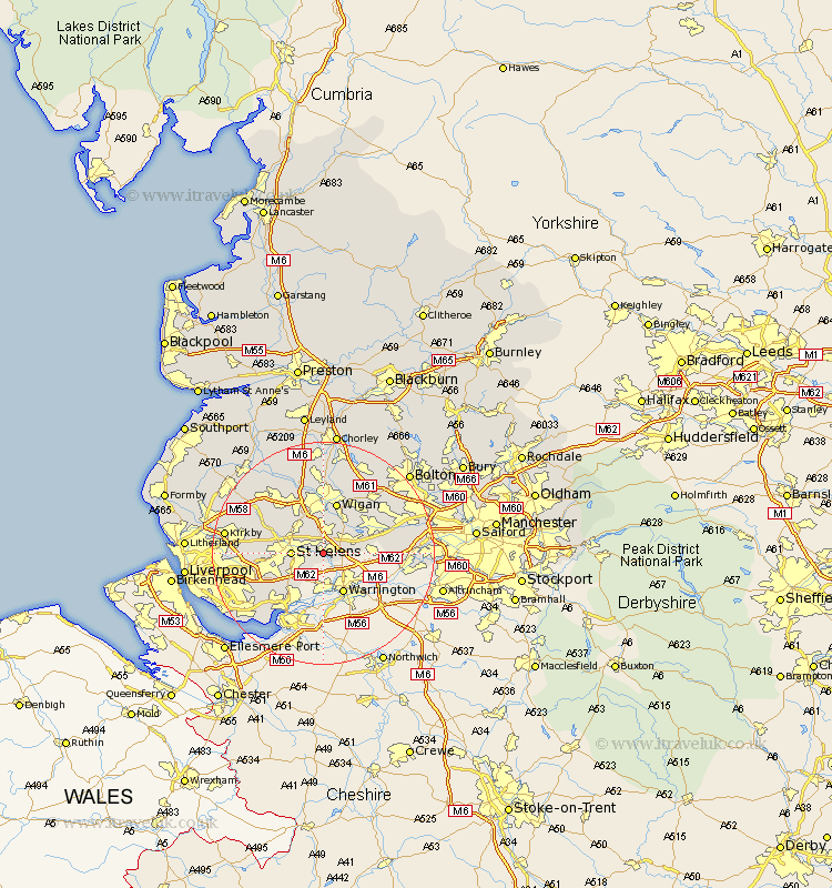
Lancashire Map Showing Location of Earlestown
District: St. Helens
Easting: 356837 Northing: 395029
Latitude: 53.45 Longitude: -2.65
 = Earlestown
Easting: 356837 Northing: 395029
Latitude: 53.45 Longitude: -2.65
= Earlestown
This Earlestown map below is supplied by Google. Use the tools in the top left corner to zoom into street level or zoom out for a road map, you may also need to zoom in to see Earlestown on the map. Click and drag the map to move around. If the map fails to load try and refresh your browser or zoom in or out (+ or -).
Update - it seems Google no longer allow people to use their maps for free! This Earlestown map sometimes loads and sometimes gives a error. I am working on a solution.
Closest 30 Towns or Cities to Earlestown (Population over 500)
Haydock 2.16km Ashton in Makerfield 3.71km Ashton 3.71km Golborne 3.8km Saint Helens 5.52km St. Helens 5.52km St Helens 5.52km Billinge 6.47km Abram 8.63km Eccleston 8.83km Ince-in-Makerfield 9.52km Wigan 9.52km Ince 9.52km Rainhull 9.52km Rainhill 9.52km Leigh 9.57km Hindley 10.26km Prescott 10.6km Prescot 10.6km Cronton 10.71km Rainford 12.39km Atherton 12.39km Shevington 13.16km Knowsley 13.24km Skelmersdale 13.57km Appley Bridge 13.7km Westhoughton 14.19km Tyldesley 14.22km Bickerstaffe 14.22km Huyton 14.37km